Cedar Knolls, Yonkers
Map
Facts and practical information
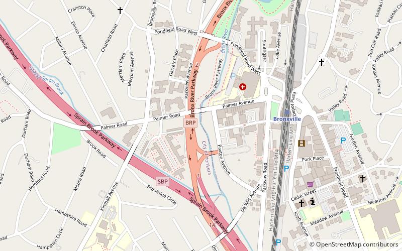
Cedar Knolls is an affluent district of the City of Yonkers, Westchester County, New York. It shares the zip code and postal address of the neighboring village of Bronxville. It was described in a 2001 New York Times article, as “.. a snug suburban neighborhood in the northeast corner of Yonkers, is in many ways a community frozen in time. The subdivision of narrow and meandering streets exists today mostly unchanged since it was built in the early 20th century..." ()
Coordinates: 40°56'27"N, 73°50'19"W
Address
Yonkers
ContactAdd
Social media
Add
Getting there by public transportation
Public transportation stops near this location
- Train
 Train
Train
- Calculate routeBronxville 5 min walk
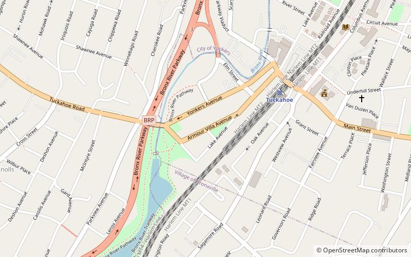
- Calculate routeTuckahoe 22 min walk
- Calculate routeFleetwood 25 min walk
Day trips


Frequently Asked Questions (FAQ)
Which popular attractions are close to Cedar Knolls?
Nearby attractions include Lawrence Park Historic District, Yonkers (1 min walk), Church of St. Joseph, Yonkers (8 min walk), Reformed Church of Bronxville, Yonkers (12 min walk), Plashbourne Estate, Yonkers (13 min walk).
How to get to Cedar Knolls by public transport?
The nearest stations to Cedar Knolls:
Train
Train
- Bronxville (5 min walk)
- Tuckahoe (22 min walk)