Cougar Stadium, Chicago
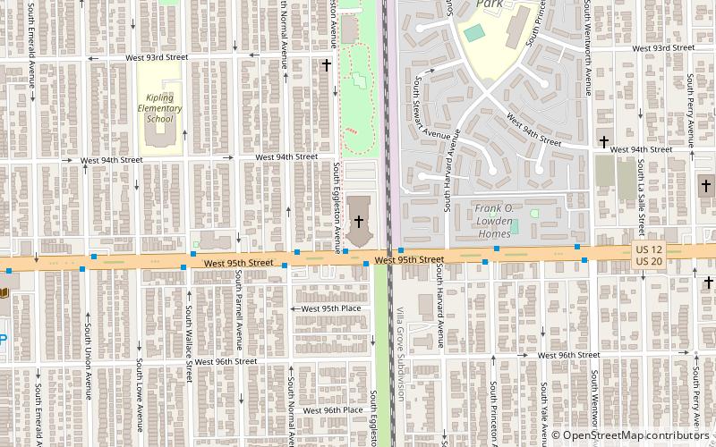
Map
Facts and practical information
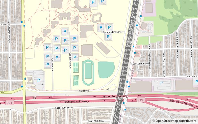
Cougar Stadium is a baseball venue in Chicago, Illinois United States. It was home to the Chicago State Cougars baseball team of the NCAA Division I Western Athletic Conference until the baseball program was discontinued on June 23, 2020. The field hosted its first game on March 18, 2014. ()
Coordinates: 41°42'57"N, 87°36'27"W
Address
Far Southeast Side (Roseland)Chicago
ContactAdd
Social media
Add
Day trips
Cougar Stadium – popular in the area (distance from the attraction)
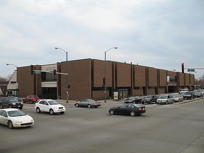
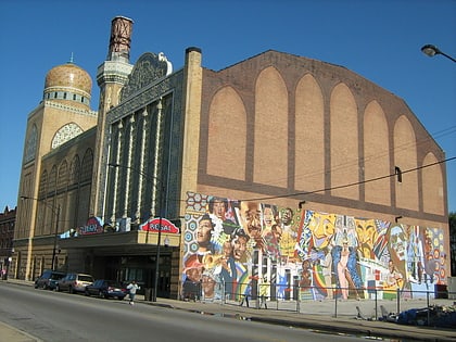
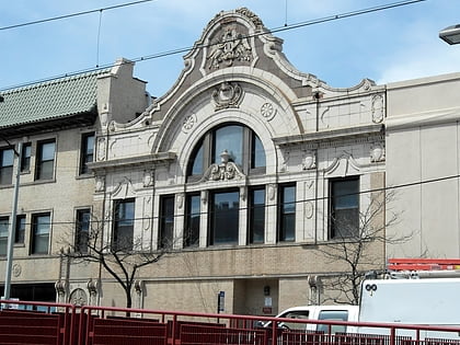
Nearby attractions include: The Plaza, Carter G. Woodson Regional Library, New Regal Theater, Jeffery Theater.
Frequently Asked Questions (FAQ)
How to get to Cougar Stadium by public transport?
The nearest stations to Cougar Stadium:
Bus
Train
Metro
Bus
- Cottage Grove & 99th Street • Lines: 115, 4 (5 min walk)
- 9700 S Cottage Grove • Lines: 115, 4 (7 min walk)
Train
- 95th Street (12 min walk)
- 103rd Street (16 min walk)
Metro
- 95th/Dan Ryan • Lines: Red (25 min walk)
 Rail "L"
