Rochester Heights Historic District, Raleigh
Map

Map

Facts and practical information
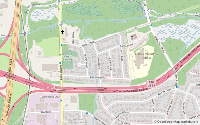
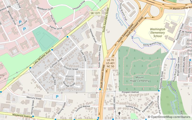
Rochester Heights Historic District is a historic post-World War II neighborhood and national historic district located 1+1⁄2 miles southeast of downtown Raleigh, North Carolina. The district encompasses 137 contributing buildings and 1 contributing structure and was developed between about 1957 and 1964. The homes are predominantly constructed in the Ranch and Split-level home styles. ()
Coordinates: 35°45'17"N, 78°37'41"W
Address
South Raleigh (Rochester Heights)Raleigh
ContactAdd
Social media
Add
Day trips
Rochester Heights Historic District – popular in the area (distance from the attraction)
Nearby attractions include: Duke Energy Center for the Performing Arts, Ray Price Harley-Davidson, North Carolina Theatre, East Raleigh–South Park Historic District.
Frequently Asked Questions (FAQ)
How to get to Rochester Heights Historic District by public transport?
The nearest stations to Rochester Heights Historic District:
Bus
Bus
- Garner Rd at Bailey Dr • Lines: 20, 22 (5 min walk)
- Newcombe Rd at Biltmore Ct • Lines: 22 (7 min walk)


