El Paso Street, El Paso
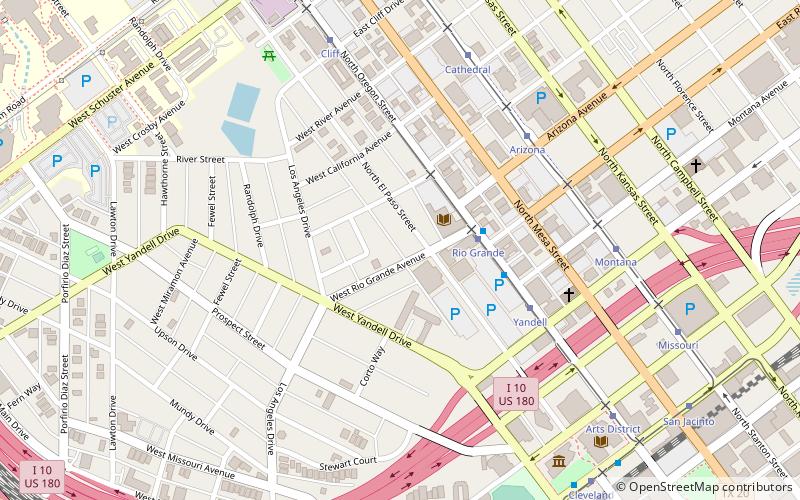
Map
Facts and practical information
El Paso Street is located in downtown El Paso. El Paso Street leads to a vehicular and pedestrian bridge into Ciudad Juárez, México and is owned by the Texas Department of Transportation. The street is well known as a shopping area serving both Mexican and United States shoppers. ()
Coordinates: 31°45'50"N, 106°29'42"W
Address
Central El Paso (Sunset Heights)El Paso
ContactAdd
Social media
Add
Getting there by public transportation
Public transportation stops near this location
- Bus
- Tram
- Train
 Bus
Bus
- Calculate routeRio Grande 3 min walk
- Calculate routeYandell 5 min walk
- Calculate routeArizona 6 min walk
- Calculate routeCathedral 7 min walk
- Calculate routeRio Grande 3 min walk
- Calculate routeArts District 10 min walk
- Calculate routeHague 14 min walk
- Calculate routeGreyhound. El Paso. TX 15 min walk
- Calculate routeEl Paso 12 min walk
Day trips
El Paso Street – popular in the area (distance from the attraction)
Nearby attractions include: Southwest University Park, Centennial Museum and Chihuahuan Desert Gardens, Sun Bowl Stadium, Don Haskins Center.


Frequently Asked Questions (FAQ)
Which popular attractions are close to El Paso Street?
Nearby attractions include Cathedral Parish of Saint Patrick, El Paso (5 min walk), Sunset Heights, El Paso (5 min walk), Woman's Club of El Paso, El Paso (6 min walk), El Paso Museum of History, El Paso (9 min walk).
How to get to El Paso Street by public transport?
The nearest stations to El Paso Street:
Tram
Bus
Train
Tram
- Rio Grande • Lines: El Paso Streetcar (3 min walk)
- Yandell • Lines: El Paso Streetcar (5 min walk)
Bus
- Rio Grande • Lines: Mesa Brio (3 min walk)
- Arts District • Lines: Mesa Brio (10 min walk)
Train
- El Paso (12 min walk)