New York Canal, Boise
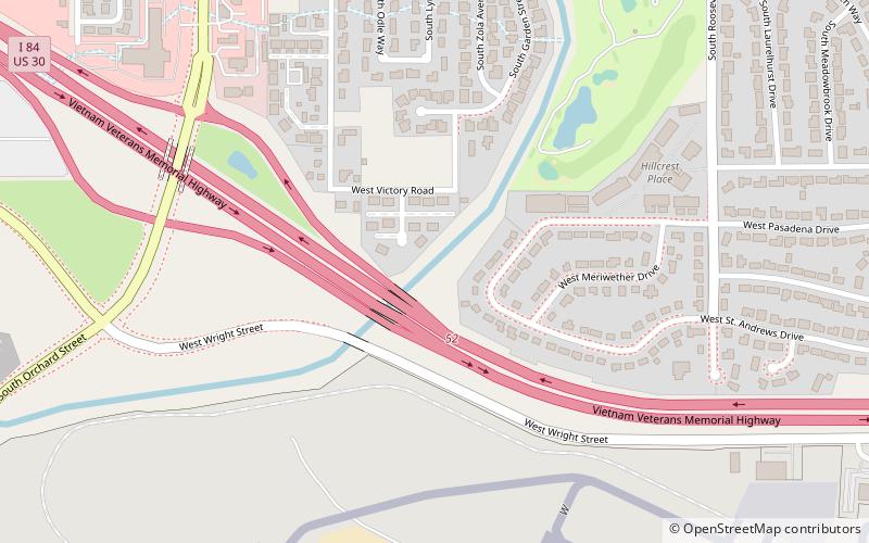
Map
Facts and practical information
The New York Canal in Ada County and Canyon County, Idaho, is a 41-mile irrigation canal originating at the Boise River Diversion Dam and ending at Lake Lowell. The canal system includes multiple lateral canals that distribute water to approximately 165,000 acres of farmland in the Boise Valley. The canal has a capacity of 2,400 cubic feet per second. ()
Coordinates: 43°34'27"N, 116°14'21"W
Address
HillcrestBoise
ContactAdd
Social media
Add
Day trips
New York Canal – popular in the area (distance from the attraction)
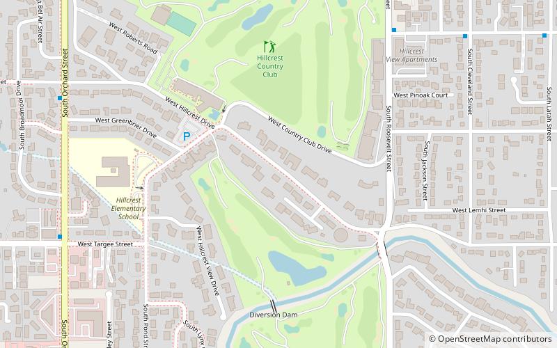
Nearby attractions include: Aquarium, Ann Morrison Park, Idaho Military History Museum, Hillcrest Country Club.
Frequently Asked Questions (FAQ)
How to get to New York Canal by public transport?
The nearest stations to New York Canal:
Bus
Bus
- South Orchard Street & South Broadmore Drive SWM • Lines: 6 (17 min walk)
- West Targee Street & South Phillippi Street NEC • Lines: 6 (20 min walk)
