Mira Mesa, San Diego

Map
Facts and practical information
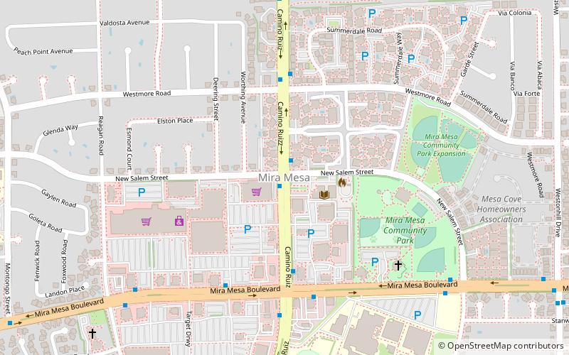
Mira Mesa is a community and neighborhood in the city of San Diego, California. The city-recognized Mira Mesa Community Plan Area is roughly bounded by Interstate 15 on the east, Interstate 805 on the west, the Los Peñasquitos Canyon on the north and Marine Corps Air Station Miramar on the south. Most of the community plan area is referred to as Mira Mesa; the community plan area also includes the neighborhoods of Sorrento Valley and Sorrento Mesa. ()
Area: 16.41 mi²Coordinates: 32°54'56"N, 117°8'38"W
Address
Northeastern San Diego (Mira Mesa)San Diego
ContactAdd
Social media
Add
Day trips
Mira Mesa – popular in the area (distance from the attraction)
Nearby attractions include: Westfield UTC, Flying Leatherneck Aviation Museum, North Fortuna Mountain, San Diego California Temple.


