Pryor's Location, Houghton-Hancock
Map
Facts and practical information
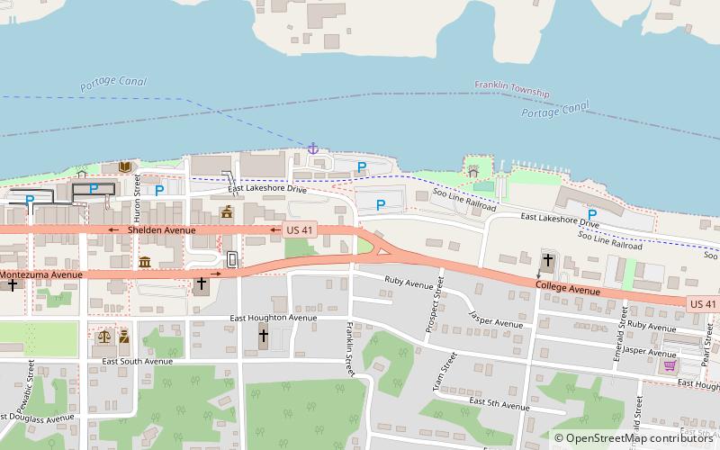
Pryor's Location is situated on the Portage Lake Shipping Canal in Michigan, United States. Very little remains of this small settlement but a sign at the intersection of Lake Avenue and Lakeshore Drive in Houghton, Michigan, into which it has been incorporated. It is named after James Pryor, owner of Pryor Lumber and other businesses in the area. ()
Coordinates: 47°7'19"N, 88°33'46"W
Address
Houghton-Hancock
ContactAdd
Social media
Add
Day trips
Pryor's Location – popular in the area (distance from the attraction)
Nearby attractions include: Portage Lake Lift Bridge, Quincy Mine No. 2 Shaft Hoist House, Carnegie Museum of the Keweenaw, MacInnes Student Ice Arena.


Frequently Asked Questions (FAQ)
Which popular attractions are close to Pryor's Location?
Nearby attractions include Saint Ignatius Loyola Church, Houghton-Hancock (5 min walk), Shelden Avenue Historic District, Houghton-Hancock (7 min walk), Carnegie Museum of the Keweenaw, Houghton-Hancock (7 min walk), Portage Lake District Library, Houghton-Hancock (7 min walk).