Decatur Waterworks, Atlanta
Map

Map

Facts and practical information
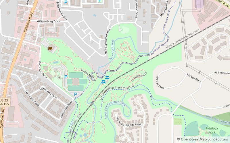
The Decatur Waterworks was a facility that obtained drinking water for the city of Decatur, Georgia, from the local Peachtree Creek and Burnt Fork Creek. Completed in 1907 and abandoned since the 1940s, the Waterworks have fallen into disrepair and are covered with graffiti. The Decatur Waterworks are in Mason Mill Park, near the city of Decatur. ()
Elevation: 892 ft a.s.l.Coordinates: 33°48'28"N, 84°18'8"W
Address
North Druid Hills (Toco Hills)Atlanta
ContactAdd
Social media
Add
Day trips
Decatur Waterworks – popular in the area (distance from the attraction)
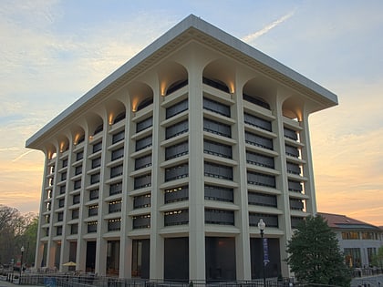
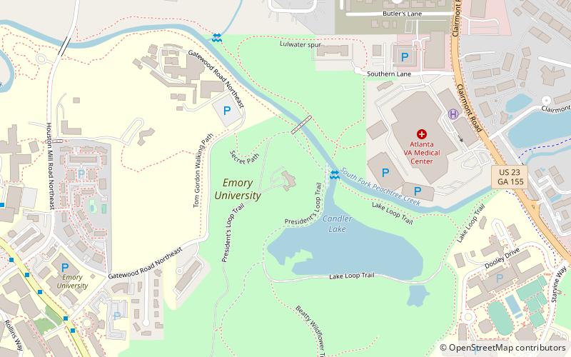
Nearby attractions include: Emory University Libraries, Lullwater House, Clyde Shepherd Nature Preserve, Emory Grove Historic District.
Frequently Asked Questions (FAQ)
How to get to Decatur Waterworks by public transport?
The nearest stations to Decatur Waterworks:
Bus
Bus
- North Decatur - Haygood • Lines: 36, Cctma (34 min walk)
- Clifton - Gatewood • Lines: Cctma (35 min walk)


