Fantasyland Theatre, Anaheim
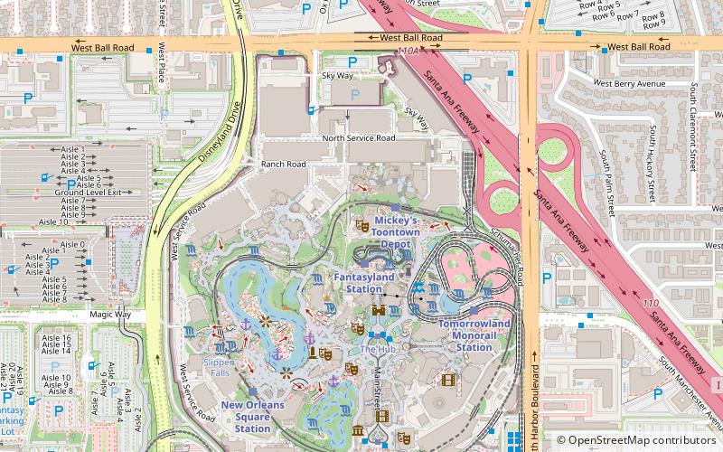
Map

Map

Facts and practical information
Fantasyland Theatre, formerly Videopolis, is the name of a 5,000-square-foot outdoor amphitheater at Disneyland in Anaheim, California. Located in Fantasyland, it functions as a venue for various shows. In 1995, the location was renamed to Fantasyland Theater. In 2013, it was renamed to the English-classic spelling, Fantasyland Theatre, with the opening of the venue's most recent show Mickey and the Magical Map. ()
Coordinates: 33°48'52"N, 117°55'10"W
Day trips
Fantasyland Theatre – popular in the area (distance from the attraction)
Nearby attractions include: Disneyland, Matterhorn Bobsleds, It's a Small World, Mad Tea Party.
Frequently Asked Questions (FAQ)
Which popular attractions are close to Fantasyland Theatre?
Nearby attractions include Gadget's Go Coaster, Anaheim (2 min walk), Casey Jr. Circus Train, Anaheim (2 min walk), King Arthur Carrousel, Anaheim (2 min walk), Pinocchio's Daring Journey, Anaheim (2 min walk).
How to get to Fantasyland Theatre by public transport?
The nearest stations to Fantasyland Theatre:
Train
Tram
Bus
Train
- Fantasyland Station (2 min walk)
- Mickey's Toontown Depot (2 min walk)
Tram
- The Hub • Lines: Horse Drawn Streetcar (4 min walk)
- Town Square • Lines: Horse Drawn Streetcar (8 min walk)
Bus
- The Hub • Lines: Fire Engine, Horseless Carriage, Omnibus (4 min walk)
- Ball Road at Cast Place • Lines: 11 (7 min walk)


