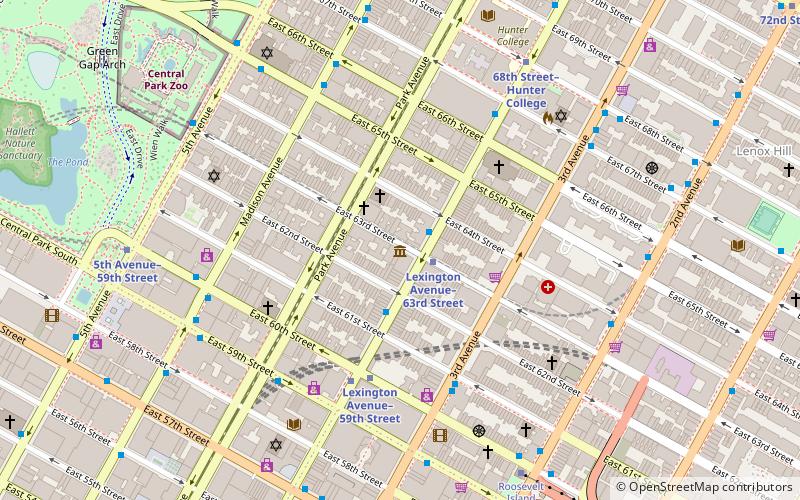
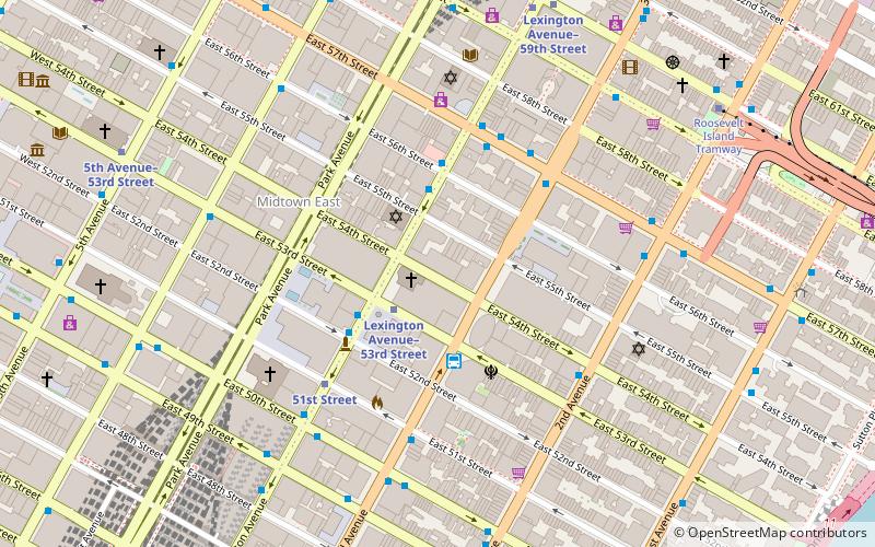
731 Lexington Avenue, New York City
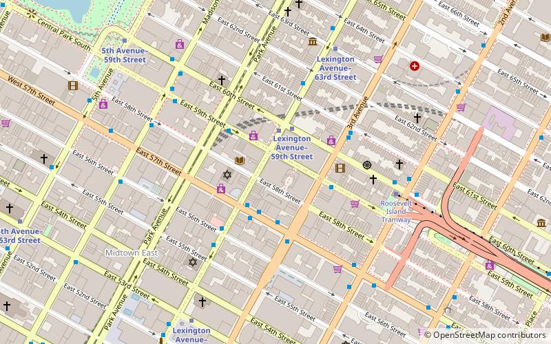
Map
Facts and practical information
731 Lexington Avenue is a 1,345,489 sq ft mixed-use glass skyscraper on Lexington Avenue, on the East Side of Midtown Manhattan, New York City. Opened in 2004, it houses the headquarters of Bloomberg L.P. and as a result, is sometimes referred to informally as Bloomberg Tower. The building also houses retail outlets, restaurants and 105 luxury condominiums. The residence section of the building is known as One Beacon Court and is served by a separate entrance. ()
Address
Midtown Manhattan (Midtown East)New York City
ContactAdd
Social media
Add
Getting there by public transportation
Public transportation stops near this location
- Metro
- Bus
- Train
 Metro
Metro
- Calculate routeE 59 St/Lexington Av 1 min walk
- Calculate routeEast 60th Street & Lexington Avenue 3 min walk
- Calculate route59th Street 2 min walk
- Calculate routeLexington Avenue–59th Street 2 min walk
- Calculate routeGrand Central Terminal 20 min walk
Maps SubwayMaps
 Manhattan Buses
SubwayMapsManhattan BusesDay trips
731 Lexington Avenue – popular in the area (distance from the attraction)
Nearby attractions include: 520 Park Avenue, Lever House, Central Synagogue, Society of Illustrators.


Frequently Asked Questions (FAQ)
Which popular attractions are close to 731 Lexington Avenue?
Nearby attractions include Korean Cultural Center New York, New York City (5 min walk), Bodley Gallery, New York City (5 min walk), Christ Church United Methodist, New York City (5 min walk), 520 Park Avenue, New York City (5 min walk).
How to get to 731 Lexington Avenue by public transport?
The nearest stations to 731 Lexington Avenue:
Bus
Metro
Train
Bus
- E 59 St/Lexington Av • Lines: Q32 (1 min walk)
- East 60th Street & Lexington Avenue • Lines: Q32 (3 min walk)
Metro
- 59th Street • Lines: <6>, 4, 5, 6 (2 min walk)
- Lexington Avenue–59th Street • Lines: N, R, W (2 min walk)
Train
- Grand Central Terminal (20 min walk)