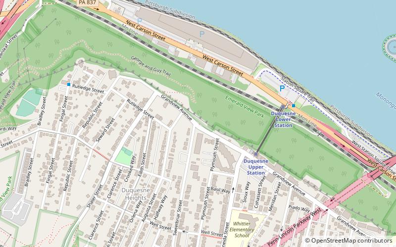
Point of View Park, Pittsburgh
Map

Map

Facts and practical information
Point of View Park is a parklet in Pittsburgh, Pennsylvania. ()
Elevation: 1142 ft a.s.l.Coordinates: 40°26'21"N, 80°1'17"W
Address
South Side (South Shore)Pittsburgh
ContactAdd
Social media
Add
Day trips
Point of View Park – popular in the area (distance from the attraction)
Nearby attractions include: Heinz Field, Highmark Stadium, Point of View Sculpture, Miniature Railroad & Village.
Frequently Asked Questions (FAQ)
Which popular attractions are close to Point of View Park?
Nearby attractions include Point of View Sculpture, Pittsburgh (1 min walk), Duquesne Heights, Pittsburgh (6 min walk), Fort Pitt Tunnel, Pittsburgh (10 min walk), USS Requin, Pittsburgh (11 min walk).
How to get to Point of View Park by public transport?
The nearest stations to Point of View Park:
Bus
Light rail
Bus
- Fingal St at Rutledge St • Lines: 40 (8 min walk)
- Liberty Ave at Wyndham Grand • Lines: Metro Commuter, P10 (22 min walk)
Light rail
- Allegheny • Lines: Blue, Red, Silver (16 min walk)
- North Side • Lines: Blue, Red, Silver (22 min walk)


