Point Pleasant Canal, Point Pleasant

Map
Facts and practical information
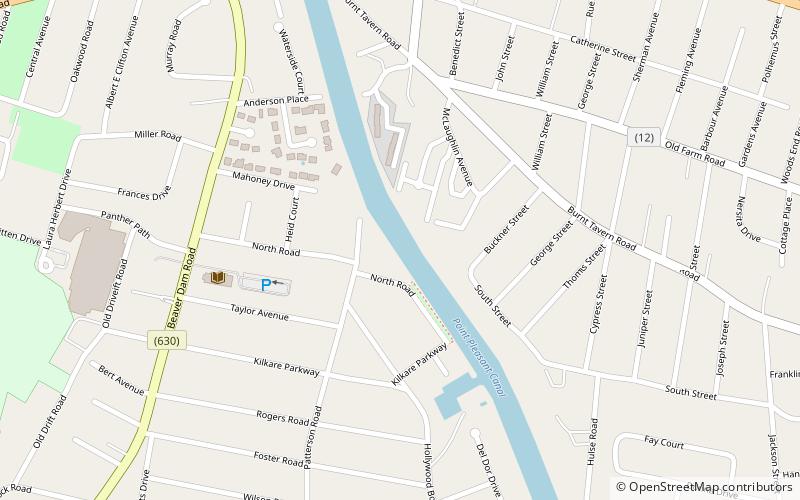
The Point Pleasant Canal is a canal in Point Pleasant, New Jersey. It was completed in 1925 to connect the Manasquan Inlet and Manasquan River with Bay Head Harbor on the northern end of Barnegat Bay. The canal is part of the Intracoastal Waterway. ()
Coordinates: 40°4'42"N, 74°3'52"W
Address
Point PleasantPoint Pleasant
ContactAdd
Social media
Add
Day trips
Point Pleasant Canal – popular in the area (distance from the attraction)
Nearby attractions include: Allaire Village, St. Catharine Church, Wreck Pond, Sea Girt Light.


