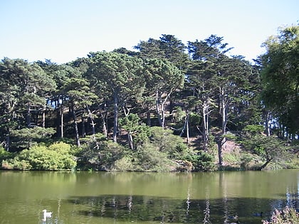
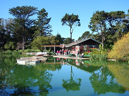
Stow Lake Boathouse, San Francisco
Map
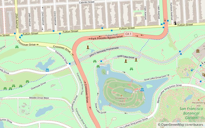
Map

Facts and practical information
The Stow Lake Boathouse is a recreational facility in San Francisco. ()
Elevation: 282 ft a.s.l.Coordinates: 37°46'14"N, 122°28'38"W
Day trips
Stow Lake Boathouse – popular in the area (distance from the attraction)
Nearby attractions include: de Young Museum, California Academy of Sciences, Golden Gate Park, Japanese Tea Garden.
Frequently Asked Questions (FAQ)
Which popular attractions are close to Stow Lake Boathouse?
Nearby attractions include Prayer Book Cross, San Francisco (3 min walk), Strawberry Hill, San Francisco (5 min walk), Lloyd Lake, San Francisco (7 min walk), Golden Gate Park, San Francisco (8 min walk).
How to get to Stow Lake Boathouse by public transport?
The nearest stations to Stow Lake Boathouse:
Bus
Light rail
Train
Trolleybus
Bus
- Fulton Street & 18th Avenue • Lines: 5 (5 min walk)
- Park Presidio Boulevard & Fulton Street • Lines: 28, 91 (9 min walk)
Light rail
- Judah Street & 19th Avenue • Lines: N (16 min walk)
Train
- Judah Street & 19th Avenue (16 min walk)
- UCSF Parnassus (29 min walk)
Trolleybus
- California Street & 19th Avenue • Lines: 1 (24 min walk)
 Muni Metro


