Neponset Valley Parkway, Boston
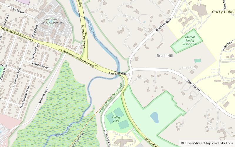
Map
Gallery
Facts and practical information
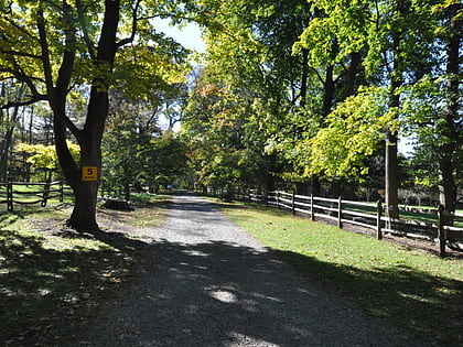
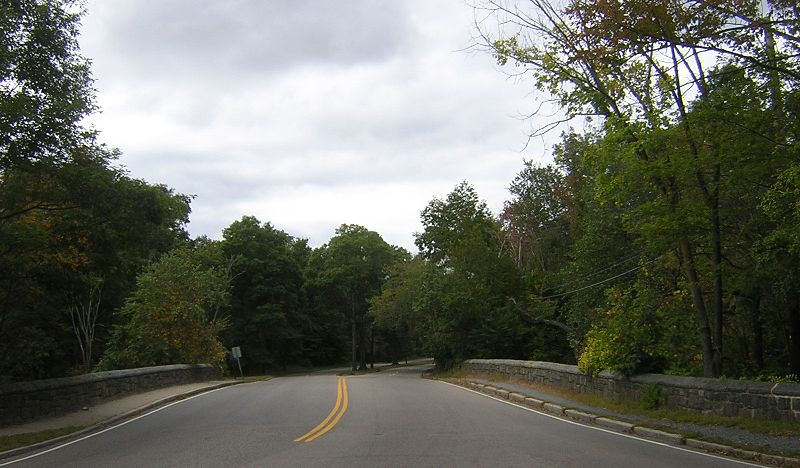
The Neponset Valley Parkway is a historic parkway in southern Boston and Milton, Massachusetts, United States. It is a connecting parkway in the Greater Boston area's network, providing a connection between the Blue Hills Reservation, Neponset River Reservation, and the Stony Brook Reservation. The parkway was constructed between 1898 and 1929 with design assistance from Charles Eliot and the Olmsted Brothers. It was listed on the National Register of Historic Places in 2005. ()
Elevation: 46 ft a.s.l.Coordinates: 42°14'4"N, 71°7'21"W
Address
Hyde Park (Readville)Boston
ContactAdd
Social media
Add
Day trips
Neponset Valley Parkway – popular in the area (distance from the attraction)
Nearby attractions include: Eustis Estate, Paul's Bridge, Blue Hills Trailside Museum, Readville.
Frequently Asked Questions (FAQ)
Which popular attractions are close to Neponset Valley Parkway?
Nearby attractions include Paul's Bridge, Boston (1 min walk), Wakefield Estate, Milton (20 min walk), Readville, Boston (22 min walk), Eustis Estate, Milton (22 min walk).
How to get to Neponset Valley Parkway by public transport?
The nearest stations to Neponset Valley Parkway:
Bus
Train
Bus
- Hyde Park Ave @ Wolcott Square • Lines: 32 (15 min walk)
Train
- Readville (16 min walk)

 MBTA Subway