Branciforte, Santa Cruz
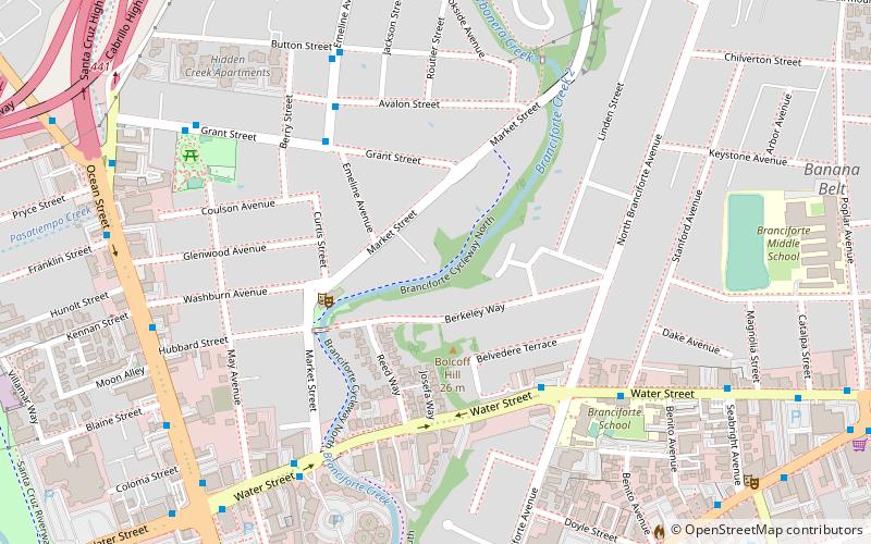
Map
Map

Facts and practical information
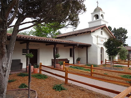
Branciforte, originally named Villa de Branciforte, was the last of only three secular pueblos founded by the Spanish colonial government of Alta California. The pueblo was established in 1797 on the eastern bluff of the San Lorenzo River, facing Mission Santa Cruz on the west side of the river. The pueblo never prospered, and the area was annexed into the city of Santa Cruz, California in 1905. ()
Coordinates: 36°59'0"N, 122°1'0"W
Address
EastsideSanta Cruz
ContactAdd
Social media
Add
Day trips
Branciforte – popular in the area (distance from the attraction)
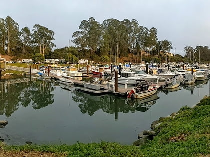
Nearby attractions include: Mission Santa Cruz, Small Craft Harbor, Santa Cruz Yacht Club, Santa Cruz Civic Auditorium.
Frequently Asked Questions (FAQ)
Which popular attractions are close to Branciforte?
Nearby attractions include Rio Theatre, Santa Cruz (11 min walk), Branciforte Adobe, Santa Cruz (13 min walk), Branciforte Creek, Santa Cruz (19 min walk), Mission Santa Cruz, Santa Cruz (19 min walk).
How to get to Branciforte by public transport?
The nearest stations to Branciforte:
Bus
Bus
- Emeline Avenue & Grant Street • Lines: 4 (5 min walk)
- Water Street & North Branciforte Avenue • Lines: 66, 71 (6 min walk)

