Buffalo Niagara Convention Center, Buffalo
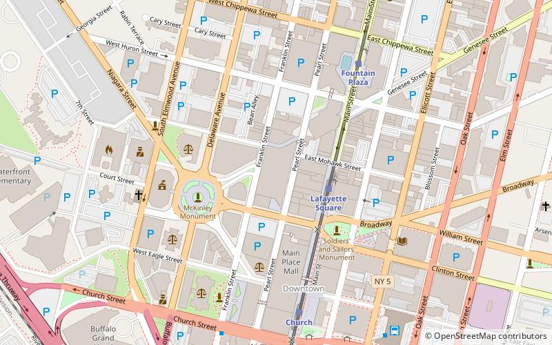
Map

Map

Facts and practical information
The Buffalo Niagara Convention Center is a convention center in downtown Buffalo, New York. Opened in 1978 at 64,410 square feet, the convention center underwent an expansion in 2010. The center holds events such as job fairs, food events, comic cons, and the World's Largest Disco. ()
Coordinates: 42°53'13"N, 78°52'33"W
Day trips
Buffalo Niagara Convention Center – popular in the area (distance from the attraction)
Nearby attractions include: KeyBank Center, Buffalo City Hall, Colored Musicians Club, Allentown.
Frequently Asked Questions (FAQ)
Which popular attractions are close to Buffalo Niagara Convention Center?
Nearby attractions include Michael J. Dillon Memorial United States Courthouse, Buffalo (3 min walk), 10 Lafayette Square, Buffalo (4 min walk), Niagara Square, Buffalo (4 min walk), McKinley Monument, Buffalo (4 min walk).
How to get to Buffalo Niagara Convention Center by public transport?
The nearest stations to Buffalo Niagara Convention Center:
Light rail
Bus
Train
Light rail
- Lafayette Square • Lines: Metro (3 min walk)
- Fountain Plaza • Lines: Metro (6 min walk)
Bus
- FlixBus Buffalo • Lines: 2686 (8 min walk)
- Buffalo Greyhound Station • Lines: 0010, 0011 (8 min walk)
Train
- Buffalo-Exchange Street (16 min walk)


