San Gregorio State Beach, Half Moon Bay
Map

Gallery

Facts and practical information
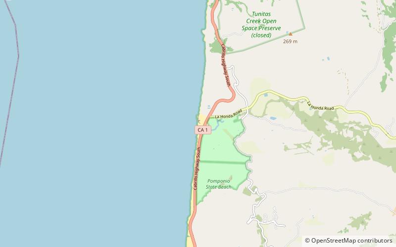
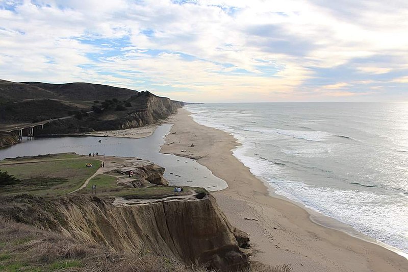
San Gregorio State Beach is a beach near San Gregorio, California, United States, south of Half Moon Bay. Part of the California State Park System, the beach lies just west of the intersection of California State Route 1 and State Route 84. ()
Coordinates: 37°19'21"N, 122°24'13"W
Address
Half Moon Bay
ContactAdd
Social media
Add
Day trips
San Gregorio State Beach – popular in the area (distance from the attraction)
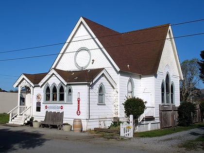
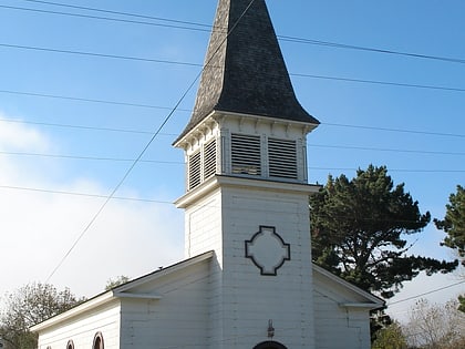
Nearby attractions include: Methodist Episcopal Church of Pescadero, First Congregational Church of Pescadero, Arata's.
Frequently Asked Questions (FAQ)
How to get to San Gregorio State Beach by public transport?
The nearest stations to San Gregorio State Beach:
Bus
Bus
- La Honda Road & South Cabrillo Highway • Lines: 17 (7 min walk)


