Kohl's, Albany
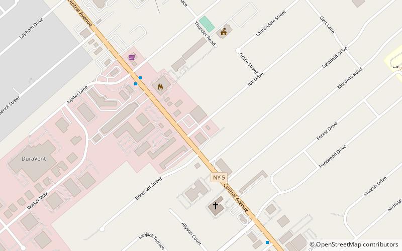
Map
Facts and practical information
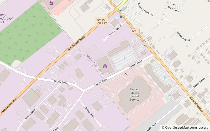
Kohl's Plaza is a strip mall at 1814 Central Avenue in Colonie, New York which includes the big box store Kohl's and several smaller tenants. It is one of two original locations for Kohl's in the New York Capital Region. Prior to Kohl's arrival in the plaza, it was known as Builder's Square Plaza as Builders Square was the only big box store in the plaza. The plaza has been in place since at least 1990. The Mohawk Drive-in Theatre operated from 1946 to 1986 at this location. ()
Coordinates: 42°43'45"N, 73°51'3"W
Address
1814 Central AvenueColonieAlbany
Contact
+1 518-456-4556
Social media
Add
Getting there by public transportation
Public transportation stops near this location
- Bus
 Bus
Bus
- Calculate routeNew Karner 6 min walk
- Calculate routeVillage Center 26 min walk
Day trips


Frequently Asked Questions (FAQ)
How to get to Kohl's by public transport?
The nearest stations to Kohl's:
Bus
Bus
- New Karner • Lines: 905 (6 min walk)
- Village Center • Lines: 905 (26 min walk)