Washington Mews, New York City
Map
Map

Facts and practical information
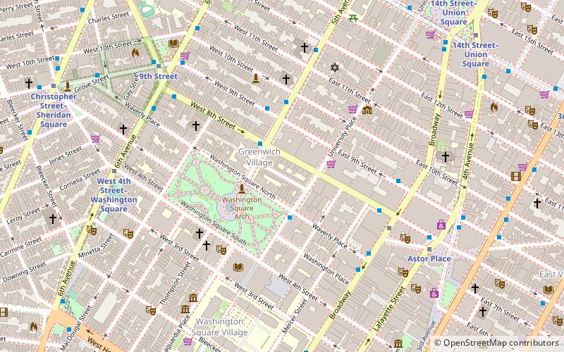
Washington Mews is a private gated street in New York City between Fifth Avenue and University Place just north of Washington Square Park. Along with MacDougal Alley and Stuyvesant Street, it was originally part of a Lenape trail which connected the Hudson and East Rivers, and was first developed as a mews that serviced horses from homes in the area. Since the 1950s the former stables have served as housing, offices and other facilities for New York University. ()
Coordinates: 40°43'54"N, 73°59'45"W
Address
Downtown Manhattan (Greenwich Village)New York City
ContactAdd
Social media
Add
Day trips
Washington Mews – popular in the area (distance from the attraction)
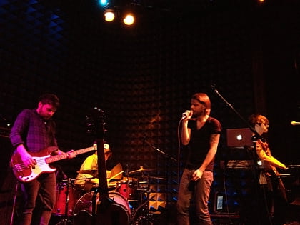
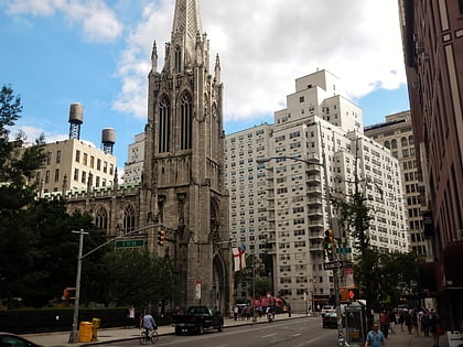
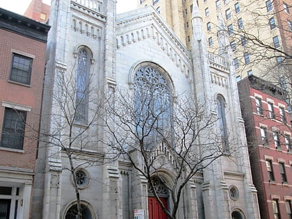
Nearby attractions include: Joe's Pub, Washington Square Park, Grace Church, Washington Court.
Frequently Asked Questions (FAQ)
Which popular attractions are close to Washington Mews?
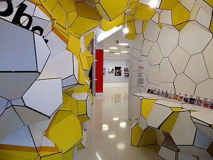
Nearby attractions include La Maison Française, New York City (1 min walk), Washington Square Park, New York City (3 min walk), Grey Art Gallery, New York City (3 min walk), Washington Square Arch, New York City (4 min walk).
How to get to Washington Mews by public transport?
The nearest stations to Washington Mews:
Bus
Metro
Ferry
Bus
- East 8th Street & Mercer Street • Lines: M1, M2, M3, M55, M8 (5 min walk)
- East 9th Street & Broadway • Lines: M8 (5 min walk)
Metro
- 8th Street–New York University • Lines: N, Q, R, W (5 min walk)
- West 4th Street–Washington Square • Lines: <F>, A, B, C, D, E, F, M (7 min walk)
Ferry
- Brookfield Place / Battery Park City Ferry Terminal (42 min walk)

 Subway
 Manhattan Buses