Poor House and Methodist Cemetery, Falmouth
Map

Map

Facts and practical information
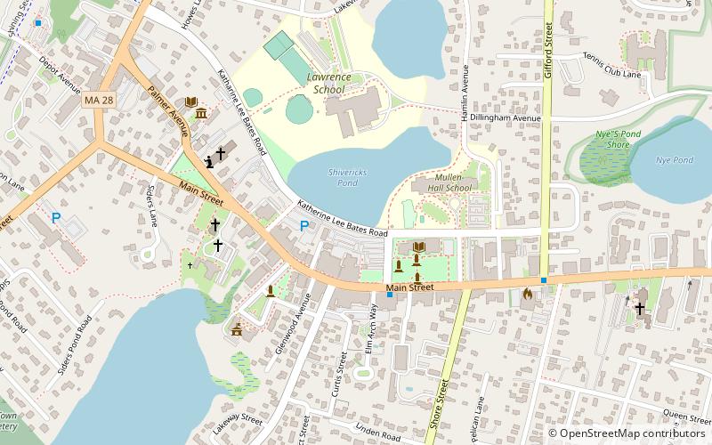
The Poor House and Methodist Cemetery is an historic poor house and cemetery on 744 Main Street in Falmouth, Massachusetts. It was established in 1809 and served the poor and mentally ill from 1812 until 1963. The property was added to the National Register of Historic Places in 1998, along with the Methodist Burial Ground next door where many Poor House residents were subsequently buried. ()
Coordinates: 41°33'12"N, 70°36'56"W
Address
Upper Cape (Falmouth)Falmouth
ContactAdd
Social media
Add
Day trips
Poor House and Methodist Cemetery – popular in the area (distance from the attraction)
Nearby attractions include: Falmouth Inner Light, St. Barnabas Episcopal Church, Falmouth Museums on the Green, Oak Grove Cemetery.
Frequently Asked Questions (FAQ)
Which popular attractions are close to Poor House and Methodist Cemetery?
Nearby attractions include Lawrence Academy, Falmouth (2 min walk), Falmouth Public Library, Falmouth (3 min walk), St. Barnabas Episcopal Church, Falmouth (5 min walk), Falmouth Museums on the Green, Falmouth (7 min walk).


