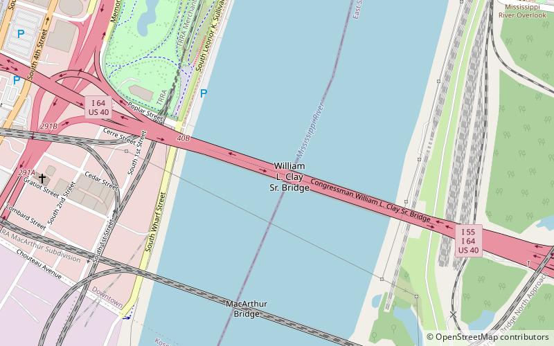
Poplar Street Bridge, St. Louis
Map

Map

Facts and practical information
The Congressman William L. Clay Sr. Bridge, formerly known as the Bernard F. Dickmann Bridge and popularly as the Poplar Street Bridge or PSB, completed in 1967, is a 647-foot-long deck girder bridge across the Mississippi River between St. Louis, Missouri, and East St. Louis, Illinois. The bridge arrives on the Missouri shore line just south of the Gateway Arch. ()
Opened: 1967 (59 years ago)Length: 2164 ftWidth: 104 ftCoordinates: 38°37'5"N, 90°10'59"W
Day trips
Poplar Street Bridge – popular in the area (distance from the attraction)
Nearby attractions include: Gateway Arch, Museum of Westward Expansion, Soulard Farmers Market, Old Courthouse.
Frequently Asked Questions (FAQ)
Which popular attractions are close to Poplar Street Bridge?
Nearby attractions include MacArthur Bridge, St. Louis (7 min walk), St. Mary of Victories Church, St. Louis (11 min walk), Gateway Arch, St. Louis (12 min walk), Old Cathedral, St. Louis (12 min walk).
How to get to Poplar Street Bridge by public transport?
The nearest stations to Poplar Street Bridge:
Light rail
Bus
Train
Light rail
- Stadium • Lines: Blue, Red (19 min walk)
- Laclede's Landing • Lines: Blue, Red (20 min walk)
Bus
- A • Lines: 30 (30 min walk)
- C • Lines: 40 (30 min walk)
Train
- Saint Louis (31 min walk)


