Rock Fort Campsite, The Dalles
Map

Map

Facts and practical information
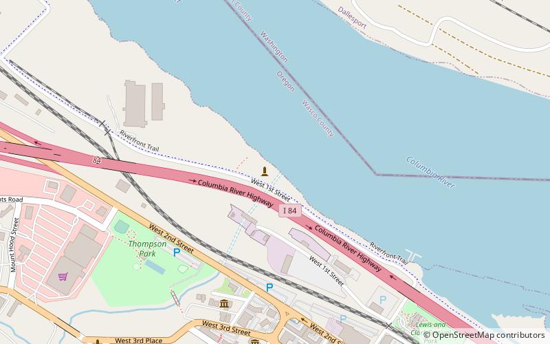
The Rock Fort Campsite is a natural fortification on the south shore of the Columbia River in The Dalles, Oregon, United States. The Lewis and Clark Expedition camped at this defensible spot for three nights in late October 1805, just after it passed Celilo Falls on its descent to the Pacific Ocean, and again for one night on their return journey. It was here that the expedition first made significant contact and commerce with the Chinookan-speaking peoples of the lower Columbia. ()
Coordinates: 45°36'23"N, 121°11'13"W
Address
The Dalles
ContactAdd
Social media
Add
Day trips
Rock Fort Campsite – popular in the area (distance from the attraction)
Nearby attractions include: Old St. Peter's Landmark, Fort Dalles Museum, Granada Theater, Sorosis Park.
Frequently Asked Questions (FAQ)
Which popular attractions are close to Rock Fort Campsite?
Nearby attractions include Original Wasco County Courthouse, The Dalles (6 min walk), Old St. Peter's Landmark, The Dalles (7 min walk), Trevitt's Addition Historic District, The Dalles (8 min walk), The Dalles Commercial Historic District, The Dalles (11 min walk).


