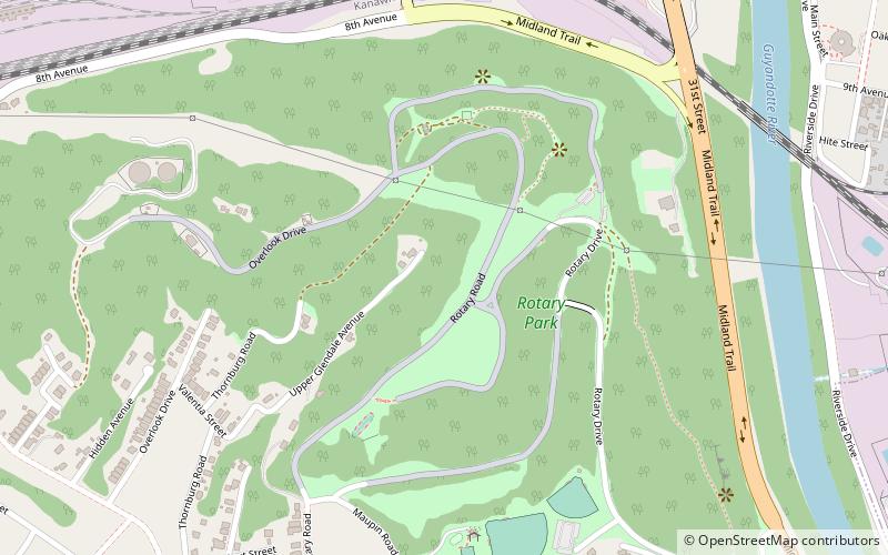
Rotary Park Bridge, Huntington
Map

Map

Facts and practical information
Rotary Park Bridge is a historic arch bridge located in Rotary Park at Huntington, Cabell County, West Virginia, United States. It was built in 1929-1930 and is constructed of native rock-faced, square-cut ashlar in a rustic style. It is approximately 175 feet long and 30 feet wide. ()
Built: 1929 (97 years ago)Coordinates: 38°25'9"N, 82°23'48"W
Day trips
Rotary Park Bridge – popular in the area (distance from the attraction)
Nearby attractions include: East Huntington Bridge, Thomas Carroll House, Ricketts House, Downtown Huntington Historic District.
Frequently Asked Questions (FAQ)
Which popular attractions are close to Rotary Park Bridge?
Nearby attractions include East Huntington Bridge, Huntington (19 min walk), Thomas Carroll House, Huntington (20 min walk).
How to get to Rotary Park Bridge by public transport?
The nearest stations to Rotary Park Bridge:
Bus
Bus
- 9th Avenue & Buffington Street • Lines: 3 (14 min walk)
- 5th Avenue & 29th Street • Lines: 3 (15 min walk)


