Shackleford Banks

Gallery (1)
Map
Map
Facts and practical information
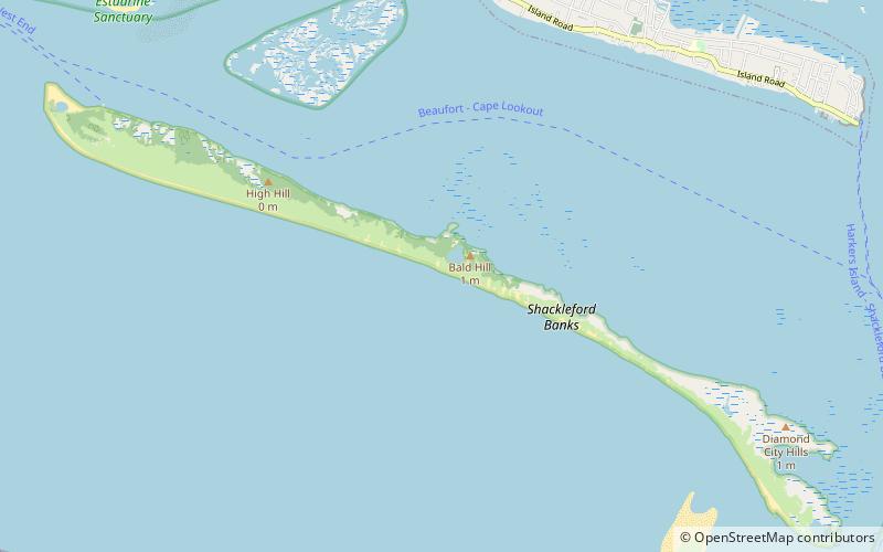
Shackleford Banks is a barrier island system on the coast of Carteret County, North Carolina. It contains a herd of feral horses, scallop, crabs and various sea animals, including summer nesting by loggerhead turtles. It is a tourist and beach camping site. ()
Coordinates: 34°39'54"N, 76°35'28"W
Location
North Carolina
ContactAdd
Social media
Add
Day trips