Sheffield Park, Charlotte
Map
Facts and practical information
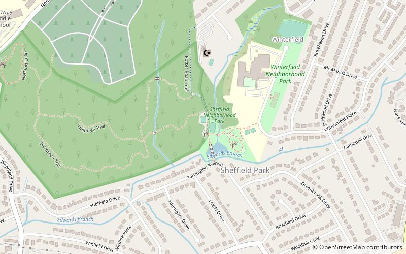
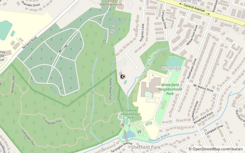
Sheffield Park is an 8-acre urban park at 1300 Tarrington Avenue in the 1950's-early 1960's era established Neighborhood of Eastway Park/Sheffield Park Neighborhood of Charlotte, North Carolina. It features a playground, a picnic shelter, and one court for each of tennis and basketball. ()
Elevation: 715 ft a.s.l.Coordinates: 35°12'22"N, 80°46'9"W
Getting there by public transportation
Public transportation stops near this location
- Bus
 Bus
Bus
- Calculate routeEastland Community Transit Center 23 min walk
Day trips


Frequently Asked Questions (FAQ)
How to get to Sheffield Park by public transport?
The nearest stations to Sheffield Park:
Bus
Bus
- Eastland Community Transit Center (23 min walk)