Shelter Island Windmill, Shelter Island
Map

Map

Facts and practical information
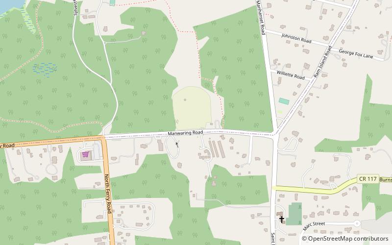
Shelter Island Windmill is an historic windmill north of Manwaring Road in Shelter Island, Suffolk County, New York. It was built in 1810. The windmill has been on Shelter Island since 1840, in its current location in 1926, and has been on the Sylvester Manor farm ever since. ()
Built: 1810 (216 years ago)Coordinates: 41°4'33"N, 72°20'8"W
Address
Shelter Island HeightsShelter Island
ContactAdd
Social media
Add
Day trips
Shelter Island Windmill – popular in the area (distance from the attraction)
Nearby attractions include: Fire Fighter, East End Seaport Museum and Marine Foundation, Mitchell Park Marina, Greenport.
Frequently Asked Questions (FAQ)
Which popular attractions are close to Shelter Island Windmill?
Nearby attractions include Shelter Island Heights Historic District, Shelter Island (10 min walk), Manhanset Chapel, Shelter Island (14 min walk), Havens House, Shelter Island (22 min walk).


