Shippingport, Louisville
Map

Gallery

Facts and practical information
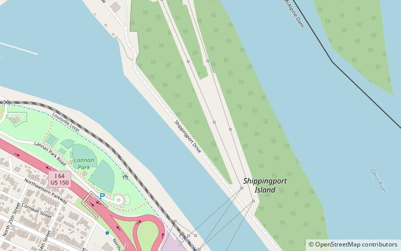
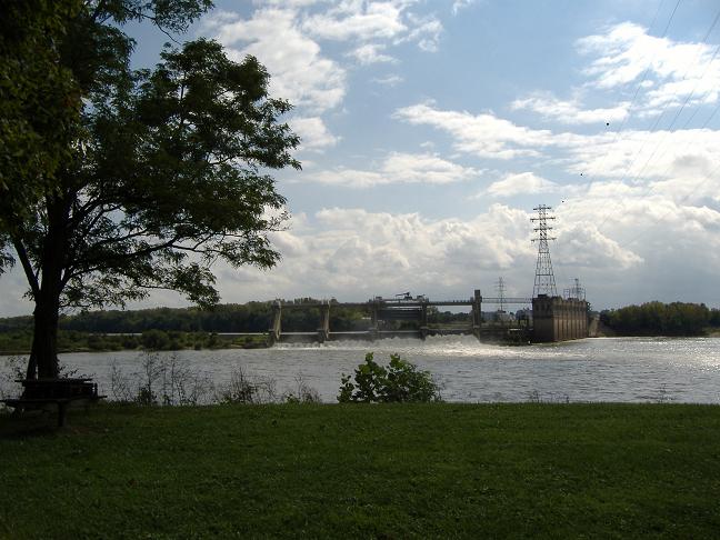
Shippingport, Kentucky is an industrial site and one of the six formerly independent settlements at the Falls of the Ohio in what is now Louisville, Kentucky. It was located on a peninsula on the south bank of the Ohio River, and incorporated without a name on October 10, 1785. It was later named Campbell Town after Revolutionary War soldier and settler John Campbell. He had been granted the land for his earlier service in the French & Indian War. ()
Coordinates: 38°16'30"N, 85°46'48"W
Address
Louisville
ContactAdd
Social media
Add
Day trips
Shippingport – popular in the area (distance from the attraction)
Nearby attractions include: Sons of the American Revolution, Frazier History Museum, Muhammad Ali Center, Kentucky Science Center.
Frequently Asked Questions (FAQ)
Which popular attractions are close to Shippingport?
Nearby attractions include Ohio River, Louisville (12 min walk), Portland Museum, Louisville (14 min walk), McAlpine Locks and Dam, Louisville (18 min walk), Old Clarksville Site, Louisville (22 min walk).
How to get to Shippingport by public transport?
The nearest stations to Shippingport:
Bus
Bus
- Northwestern Pkwy / 23rd • Lines: 22North, 22South (9 min walk)
- Northwestern Pkwy / 22nd • Lines: 22South (10 min walk)


