Silk Covered Bridge, Bennington
Map

Map

Facts and practical information
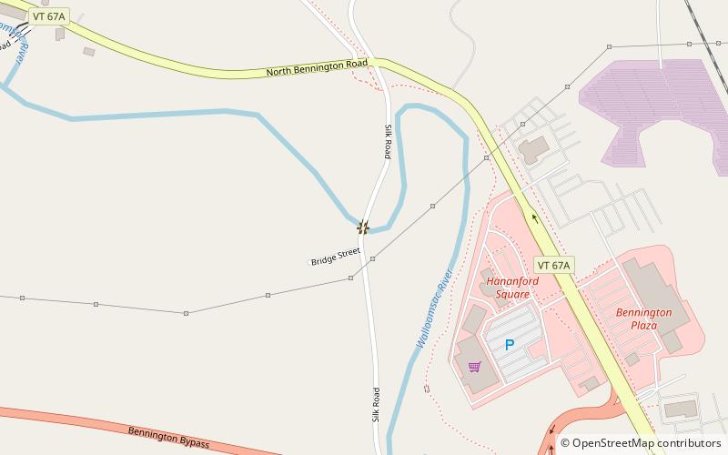
The Silk Covered Bridge is a covered bridge, carrying Silk Road across the Walloomsac River between downtown Bennington, Vermont and the village of North Bennington. A Town lattice truss bridge, it was built in 1840, and is one of three covered bridges across the river in fairly close proximity. It was added to the National Register of Historic Places in 1973. ()
Built: 1840 (186 years ago)Coordinates: 42°54'34"N, 73°13'31"W
Address
Bennington
ContactAdd
Social media
Add
Day trips
Silk Covered Bridge – popular in the area (distance from the attraction)
Nearby attractions include: Bennington Battle Monument, First Congregational Church of Bennington, Bennington Museum, Old Bennington Post Office.


