Simmons Block, Adams
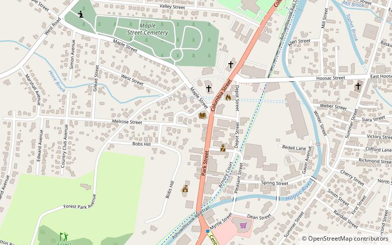
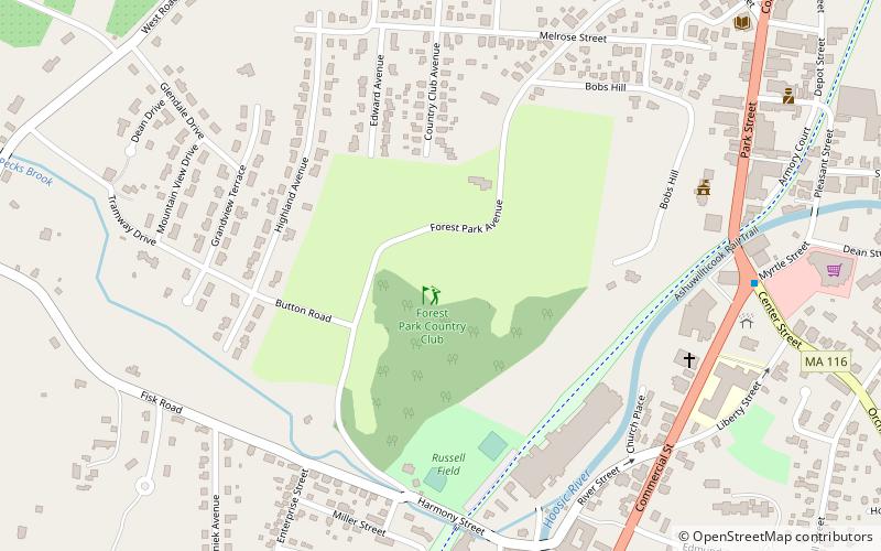
Map

Map

Facts and practical information
The Simmons Block is a historic commercial building in Adams, Massachusetts. Built about 1885, it is one of town's most elaborate examples of Queen Anne Victorian architecture. It was listed on the National Register of Historic Places in 1982. ()
Built: 1885 (141 years ago)Coordinates: 42°37'25"N, 73°7'14"W
Address
Adams
ContactAdd
Social media
Add
Day trips
Simmons Block – popular in the area (distance from the attraction)
Nearby attractions include: Quaker Meetinghouse, Forest Park Country Club, Susan B. Anthony Birthplace Museum, St. Stanislaus Kostka Church.
Frequently Asked Questions (FAQ)
Which popular attractions are close to Simmons Block?
Nearby attractions include Armory Block, Adams (3 min walk), Maple Street Cemetery, Adams (8 min walk), St. Stanislaus Kostka Church, Adams (10 min walk), Quaker Meetinghouse, Adams (10 min walk).


