Smithsonian Institution Shelter, Mount Whitney
Map

Map

Facts and practical information
The Smithsonian Institution Shelter, also known as the Mount Whitney Summit Shelter and the Mount Whitney Hut, was built in 1909 on the summit plateau of Mount Whitney, in the Sierra Nevada within Sequoia National Park, in California. It is the highest permanent building in the Contiguous United States. ()
Built: 1909 (117 years ago)Coordinates: 36°34'43"N, 118°17'31"W
Address
Mount Whitney
ContactAdd
Social media
Add
Day trips
Smithsonian Institution Shelter – popular in the area (distance from the attraction)
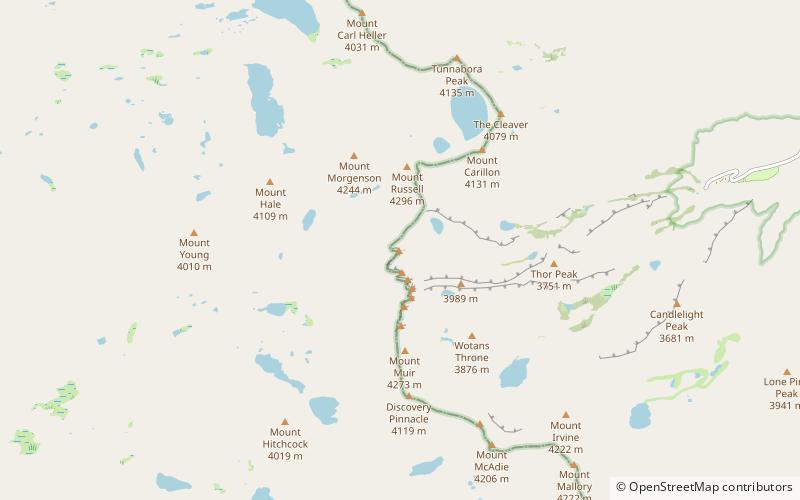
Nearby attractions include: East Face, Mount Carillon, Mount Muir, Mount Randy Morgenson.
Frequently Asked Questions (FAQ)
Which popular attractions are close to Smithsonian Institution Shelter?
Nearby attractions include East Face, Mount Whitney (1 min walk), Mount Russell, Sequoia and Kings Canyon National Parks (20 min walk).


