Unity Island, Buffalo

Map
Facts and practical information
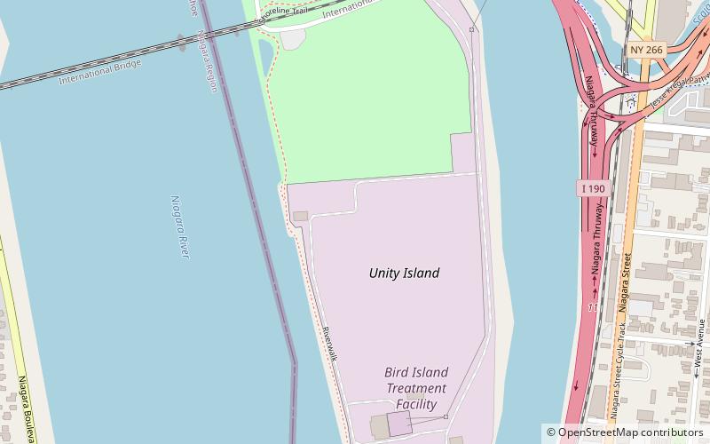
Unity Island is an approximately 160-acre island separating the Niagara River and the Black Rock Canal, located within the city limits of Buffalo, New York. The historic island is home to two public parks and a water treatment facility. It is connected to the mainland by a two-span swing bridge. ()
Coordinates: 42°55'34"N, 78°54'16"W
Address
Buffalo
ContactAdd
Social media
Add
Day trips
Unity Island – popular in the area (distance from the attraction)
Nearby attractions include: Buffalo State Sports Arena, International Railway Bridge, Market Square Historic District, Sportsmen's Tavern.
Frequently Asked Questions (FAQ)
Which popular attractions are close to Unity Island?
Nearby attractions include International Railway Bridge, Buffalo (9 min walk), Buffalo Smelting Works, Buffalo (16 min walk), Market Square Historic District, Buffalo (17 min walk), Black Rock, Buffalo (17 min walk).


