St. Mary of Victories Church, St. Louis
Map

Gallery

Facts and practical information
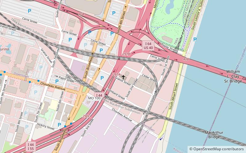
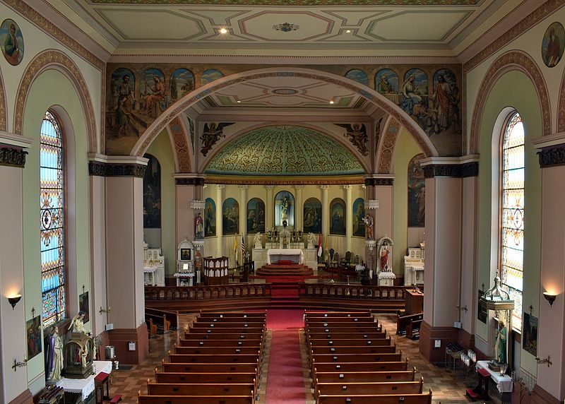
The Church of St. Mary of Victories is a historic Roman Catholic church in downtown St. Louis, Missouri, in the Chouteau's Landing Historic District south of the Gateway Arch. It was established in 1843, and was the second Catholic Church to be built in the city. It has been listed on the National Register of Historic Places. ()
Built: 1843 (183 years ago)Coordinates: 38°37'5"N, 90°11'25"W
Day trips
St. Mary of Victories Church – popular in the area (distance from the attraction)
Nearby attractions include: Gateway Arch, Museum of Westward Expansion, Soulard Farmers Market, Old Courthouse.
Frequently Asked Questions (FAQ)
Which popular attractions are close to St. Mary of Victories Church?
Nearby attractions include Eugene Field House, St. Louis (5 min walk), Busch Stadium, St. Louis (9 min walk), Poplar Street Bridge, St. Louis (11 min walk), MacArthur Bridge, St. Louis (11 min walk).
How to get to St. Mary of Victories Church by public transport?
The nearest stations to St. Mary of Victories Church:
Light rail
Bus
Train
Light rail
- Stadium • Lines: Blue, Red (12 min walk)
- 8th & Pine • Lines: Blue, Red (18 min walk)
Bus
- A • Lines: 30 (21 min walk)
- C • Lines: 40 (21 min walk)
Train
- Saint Louis (22 min walk)


