St. Michael the Archangel Parish, Haverhill
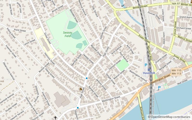
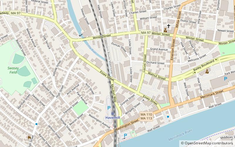
Map

Map

Facts and practical information
St. Michael the Archangel Parish - designated for Polish immigrants in Haverhill, Massachusetts, United States. ()
Coordinates: 42°46'27"N, 71°5'28"W
Address
Haverhill (Mount Washington)Haverhill
ContactAdd
Social media
Add
Day trips
St. Michael the Archangel Parish – popular in the area (distance from the attraction)
Nearby attractions include: School Street School, The Elevator Museum, Bradford Common Historic District, L.H. Hamel Leather Company Historic District.
Frequently Asked Questions (FAQ)
Which popular attractions are close to St. Michael the Archangel Parish?
Nearby attractions include The Elevator Museum, Haverhill (8 min walk), L.H. Hamel Leather Company Historic District, Haverhill (8 min walk), Washington Street Shoe District, Haverhill (9 min walk), School Street School, Haverhill (20 min walk).
How to get to St. Michael the Archangel Parish by public transport?
The nearest stations to St. Michael the Archangel Parish:
Train
Bus
Train
- Haverhill (7 min walk)
- Bradford (14 min walk)
Bus
- Washington Square Transit Center • Lines: 83 (12 min walk)


