Stanton Street Bridge, El Paso
Map
Facts and practical information
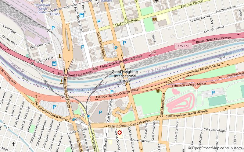
The Good Neighbor International Bridge, commonly known as the Stanton Street Bridge, is an international bridge connecting the United States-Mexico border cities of El Paso, Texas, and Ciudad Juárez, Chihuahua across the Rio Grande. The bridge is also known as "Friendship Bridge", "Puente Río Bravo" and "Puente Ciudad Juárez-Stanton El Paso". The Good Neighbor International Bridge is a five lane bridge with 3 lanes for south bound traffic and one for Secure Electronic Network for Travelers Rapid Inspection northbound traffic. The bridge was completed in 1967 and is 880 feet long. The U.S. side of the bridge is owned and operated by the City of El Paso. ()
Address
Central El Paso (Downtown El Paso)El Paso
ContactAdd
Social media
Add
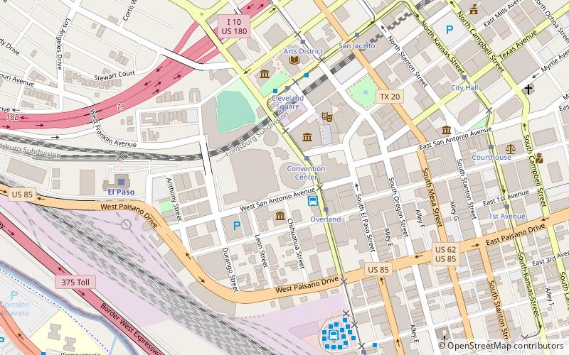
Getting there by public transportation
Public transportation stops near this location
- Bus
- Tram
- Train
 Bus
Bus
- Calculate routeAutobuses Los Paisonos 8 min walk
- Calculate routeEl Paso-Los Angeles Limousine Express 8 min walk
- Calculate routeBay O 13 min walk
- Calculate routeBay K 13 min walk
- Calculate routeStanton 9 min walk
- Calculate routeEl Paso 10 min walk
- Calculate routeDowntown Transit Center 12 min walk
- Calculate route1st Avenue 15 min walk
- Calculate routeEl Paso 25 min walk
Day trips


Frequently Asked Questions (FAQ)
Which popular attractions are close to Stanton Street Bridge?
Nearby attractions include Paso del Norte International Bridge, El Paso (7 min walk), Chihuahuita, El Paso (11 min walk), El Segundo Barrio, El Paso (13 min walk), Richard Caples Building, El Paso (18 min walk).
How to get to Stanton Street Bridge by public transport?
The nearest stations to Stanton Street Bridge:
Bus
Tram
Train
Bus
- Autobuses Los Paisonos (8 min walk)
- El Paso-Los Angeles Limousine Express (8 min walk)
Tram
- Stanton • Lines: El Paso Streetcar (9 min walk)
- El Paso • Lines: El Paso Streetcar (10 min walk)
Train
- El Paso (25 min walk)