State Street Bridge, Harrisburg
Map

Map

Facts and practical information
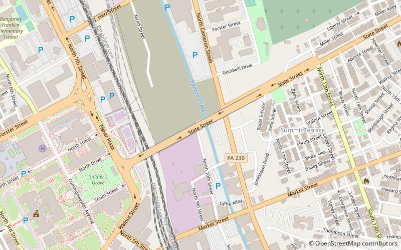
The State Street Bridge, also known as the Soldiers and Sailors Memorial Bridge, is a 1,312-foot concrete, deck arch bridge that spans Pennsylvania Route 230 and Paxton Creek in Harrisburg, Pennsylvania. The bridge was completed in 1930 and was intended to be the principal entrance into downtown Harrisburg and the Pennsylvania State Capitol Complex from the east. ()
Length: 1312 ftWidth: 80 ftCoordinates: 40°16'2"N, 76°52'36"W
Day trips
State Street Bridge – popular in the area (distance from the attraction)
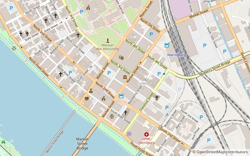
Nearby attractions include: Pennsylvania State Capitol, Strawberry Square, Cathedral of Saint Patrick, Whitaker Center for Science and the Arts.
Frequently Asked Questions (FAQ)
Which popular attractions are close to State Street Bridge?
Nearby attractions include Harris Tower, Harrisburg (5 min walk), The Forum Auditorium, Harrisburg (7 min walk), State Library of Pennsylvania, Harrisburg (8 min walk), Capitol District, Harrisburg (10 min walk).
How to get to State Street Bridge by public transport?
The nearest stations to State Street Bridge:
Bus
Train
Bus
- Harrisburg (9 min walk)
- FlixBus Harrisburg • Lines: 2680 (12 min walk)
Train
- Harrisburg (10 min walk)


