Stephenson Island, Marinette

Map
Facts and practical information
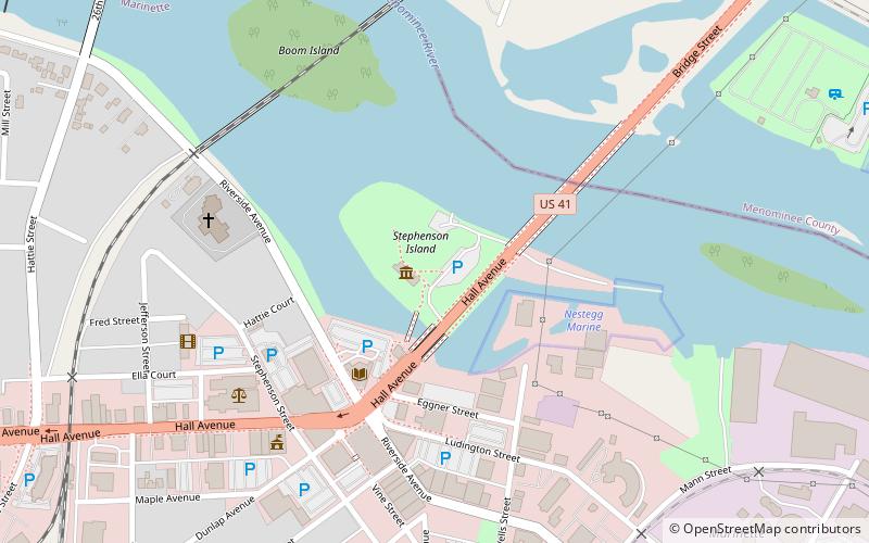
Stephenson Island is located in the Menominee River within the boundary of Marinette, Wisconsin at a latitude of 45.1019294 north and longitude 87.6292735 west, at an elevation of 587 feet. It is named after Isaac Stephenson, a prominent politician and lumberman in Marinette at the turn of the 20th century. The island is operated as a city park and is uninhabited. US Highway 41 runs across it, which provides access to the park's pavilion, gazebo, playground, and picnic areas. ()
Coordinates: 45°6'7"N, 87°37'45"W
Address
Marinette
ContactAdd
Social media
Add
Day trips
Stephenson Island – popular in the area (distance from the attraction)
Nearby attractions include: Menominee County Courthouse, Marinette Historical Museum, Interstate Bridge, St. John the Baptist Catholic Church.
Frequently Asked Questions (FAQ)
Which popular attractions are close to Stephenson Island?
Nearby attractions include Marinette Historical Museum, Marinette (1 min walk), Bijou Theatre Building, Marinette (5 min walk), Interstate Bridge, Marinette (5 min walk), Menominee County Courthouse, Menominee (22 min walk).


