Swope Park, Kansas City
Map

Map

Facts and practical information
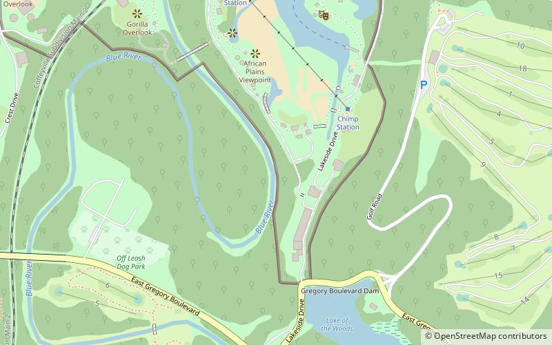
Swope Park is a city park in Kansas City, Missouri. At 1,805 acres, it is the 51st-largest municipal park in the United States, and the largest park in Kansas City. It is named in honor of Colonel Thomas H. Swope, a philanthropist who donated the land to the city in 1896. ()
Created: 1896Elevation: 748 ft a.s.l.Coordinates: 38°59'56"N, 94°31'18"W
Day trips
Swope Park – popular in the area (distance from the attraction)
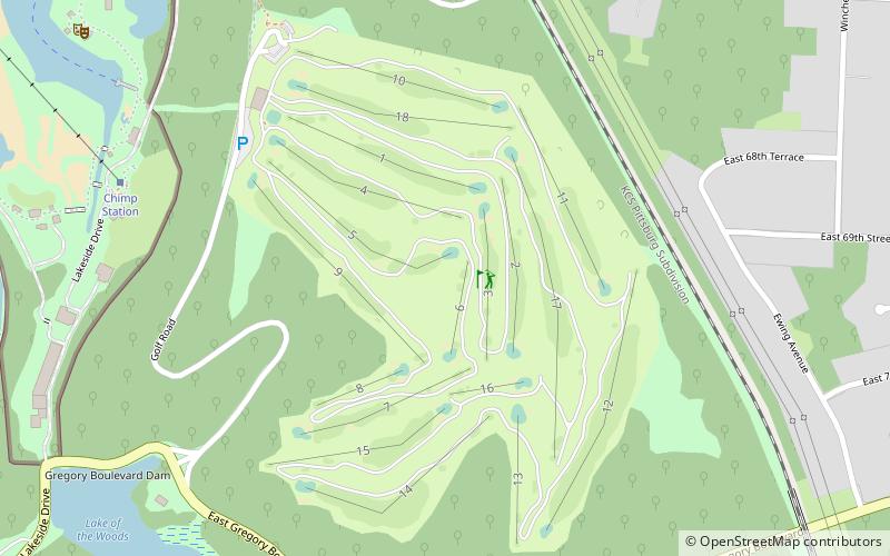
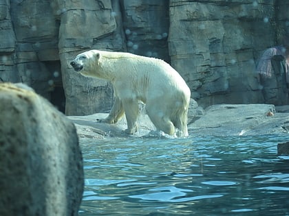
Nearby attractions include: Swope Memorial Golf Course, Kansas City Zoo, Swope Soccer Village, Starlight Theatre.
Frequently Asked Questions (FAQ)
Which popular attractions are close to Swope Park?
Nearby attractions include Kansas City Zoo, Kansas City (11 min walk), Starlight Theatre, Kansas City (22 min walk), Swope Soccer Village, Kansas City (23 min walk).
How to get to Swope Park by public transport?
The nearest stations to Swope Park:
Bus
Train
Bus
- Tram Station (9 min walk)
- KC Zoo • Lines: 18 (20 min walk)
Train
- Train and Tram Station (17 min walk)


