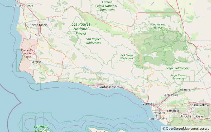
Little Pine Mountain, Los Padres National Forest
Map

Map

Facts and practical information
Little Pine Mountain is a mountain in Santa Barbara County, California, in the Los Padres National Forest at the southern edge of the San Rafael Mountains. It separates the drainages of Oso Creek, which flows into the upper Santa Ynez River, from the drainage of Santa Cruz Creek, which flows into the middle section of the river via Lake Cachuma. The mountain is named for a thin grove of Coulter pines located on the summit. ()
Elevation: 4462 ftProminence: 518 ftCoordinates: 34°36'2"N, 119°44'20"W
Address
Los Padres National Forest
ContactAdd
Social media
Add
Day trips
Little Pine Mountain – popular in the area (distance from the attraction)
Nearby attractions include: Cold Spring Canyon Arch Bridge, Gibraltar Dam, Knapp's Castle.


