Standing Boy Creek State Park
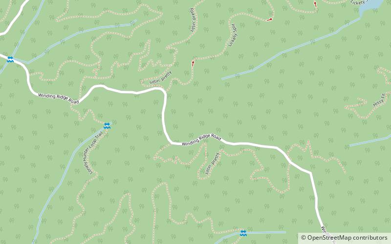
Map
Facts and practical information
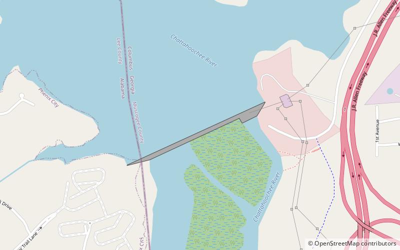
Standing Boy Creek Wildlife Management Area is a 1,579 acres Georgia wildlife management area located in Columbus. The executive order creating the park was issued by then-Governor Sonny Perdue on January 21, 2004. ()
Coordinates: 32°34'20"N, 85°2'11"W
Location
Georgia
ContactAdd
Social media
Add
Day trips