Hilina Slump, Hawaii Volcanoes National Park

Map
Facts and practical information
The Hilina Slump, on the south flank of the Kīlauea Volcano on the southeast coast of the Big Island of Hawaiʻi, is the most notable of several landslides that ring each of the Hawaiian Islands. These landslides are the means by which material deposited at a volcano's vents are transferred downward and seaward, eventually spilling onto the seabed to broaden the island. ()
Coordinates: 19°16'15"N, 155°9'50"W
Address
PunaHawaii Volcanoes National Park
ContactAdd
Social media
Add
Day trips
Hilina Slump – popular in the area (distance from the attraction)
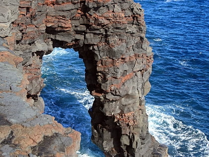
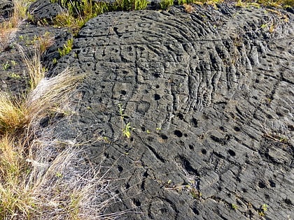
Nearby attractions include: Hōlei Sea Arch, Puna-Kāʻu Historic District, Pu‘u Loa Petroglyphs.


