Seal Slough, San Mateo
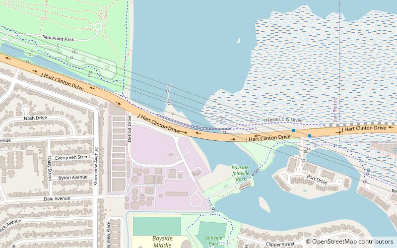
Map
Facts and practical information
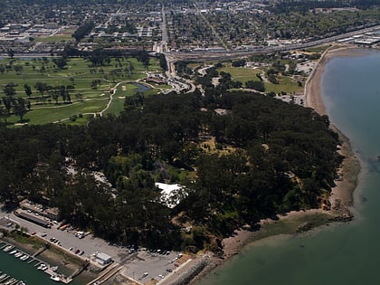
Seal Slough is a narrow winding tidal channel through a tidal marsh in San Mateo and Foster City, California. This slough has been the object of a wetland restoration project in recent years to enhance habitat value. Dredging has been carried out in Seal Slough since at least 1954. When the original sewage treatment plant for the city of San Mateo was constructed in 1935, its discharge was directed to Seal Slough. ()
Coordinates: 37°34'15"N, 122°17'38"W
Address
San Mateo
ContactAdd
Social media
Add
Day trips
Seal Slough – popular in the area (distance from the attraction)
Nearby attractions include: Hillsdale Shopping Center, CuriOdyssey, Coyote Point Recreation Area, Hiller Aviation Museum.
Frequently Asked Questions (FAQ)
How to get to Seal Slough by public transport?
The nearest stations to Seal Slough:
Bus
Bus
- J. Hart Clinton Drive & Anchor Road • Lines: Fcx (7 min walk)
- Mariners Island Boulevard & Fathom Drive • Lines: Fcx (15 min walk)

