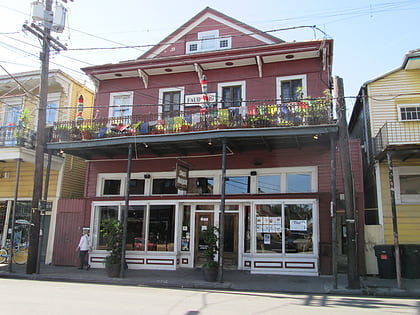
Decatur Street, New Orleans
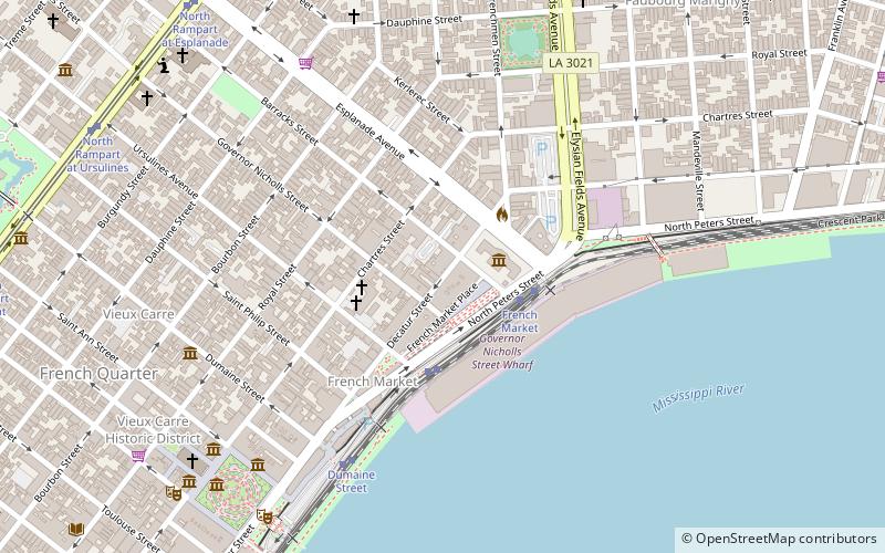
Map
Gallery
Facts and practical information
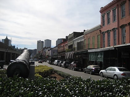
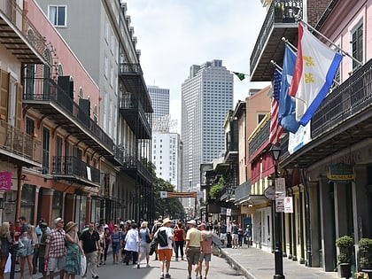
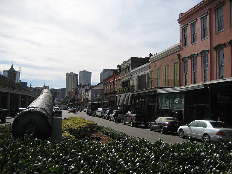
Decatur Street is a street in the French Quarter neighborhood of New Orleans, Louisiana, USA that runs parallel to the Mississippi River. Decatur was formerly known as "Levee Street" or Rue de la Levée, as it was originally the location of the levee. In 1870, when the river had altered its course, it was renamed "Decatur Street" in honor of the naval hero Stephen Decatur Jr. ()
Coordinates: 29°57'40"N, 90°3'32"W
Day trips
Decatur Street – popular in the area (distance from the attraction)
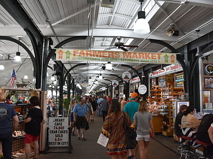
Nearby attractions include: Royal Street, Cafe Lafitte in Exile, French Market, New Orleans Mint.
Frequently Asked Questions (FAQ)
Which popular attractions are close to Decatur Street?
Nearby attractions include New Orleans Mint, New Orleans (2 min walk), New Orleans Jazz Museum, New Orleans (2 min walk), Old Ursuline Convent, New Orleans (3 min walk), Beauregard-Keyes House, New Orleans (4 min walk).
How to get to Decatur Street by public transport?
The nearest stations to Decatur Street:
Tram
Train
Bus
Tram
- French Market • Lines: 2 (3 min walk)
- Ursulines Avenue • Lines: 2 (3 min walk)
Train
- New Orleans (40 min walk)
Bus
- New Orleans Union Passenger Terminal (40 min walk)
