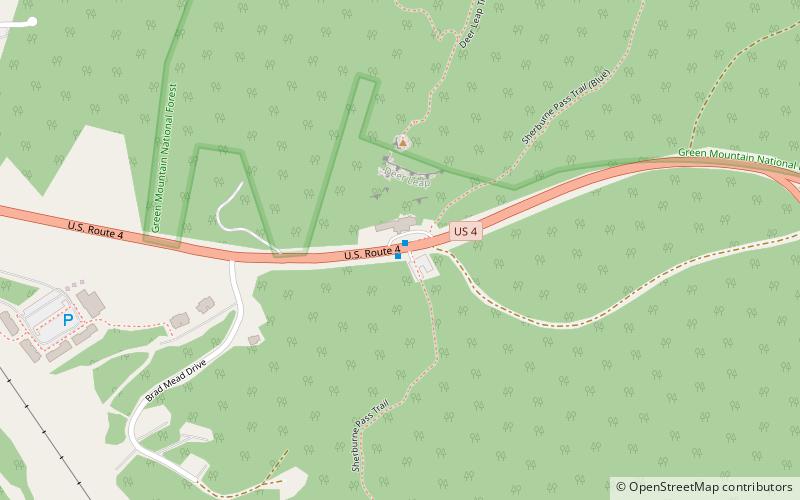
Sherburne Pass, Green Mountain National Forest
Map

Map

Facts and practical information
Sherburne Pass, is a mountain pass in the Green Mountains of Vermont, between 3,957-foot Pico Peak to the south and 2,782-foot Deer Leap Mountain to the north. The height of land of the pass is located in the town of Killington, while its western ascent begins in the town of Mendon. ()
Maximum elevation: 2150 ftCoordinates: 43°39'49"N, 72°49'59"W
Address
Green Mountain National Forest
ContactAdd
Social media
Add
Day trips
Sherburne Pass – popular in the area (distance from the attraction)
Nearby attractions include: Killington Resort, Green Mountain National Golf Course.
Frequently Asked Questions (FAQ)
How to get to Sherburne Pass by public transport?
The nearest stations to Sherburne Pass:
Bus
Bus
- Inn at the Long Trail Stop - East • Lines: Rutland to Killington Commuter R (1 min walk)
- Inn at the Long Trail Stop - West • Lines: Killington to Rutland Commuter R (1 min walk)


