Bear Lake, Alpine Lakes Wilderness
#15 among attractions in Alpine Lakes Wilderness
Facts and practical information
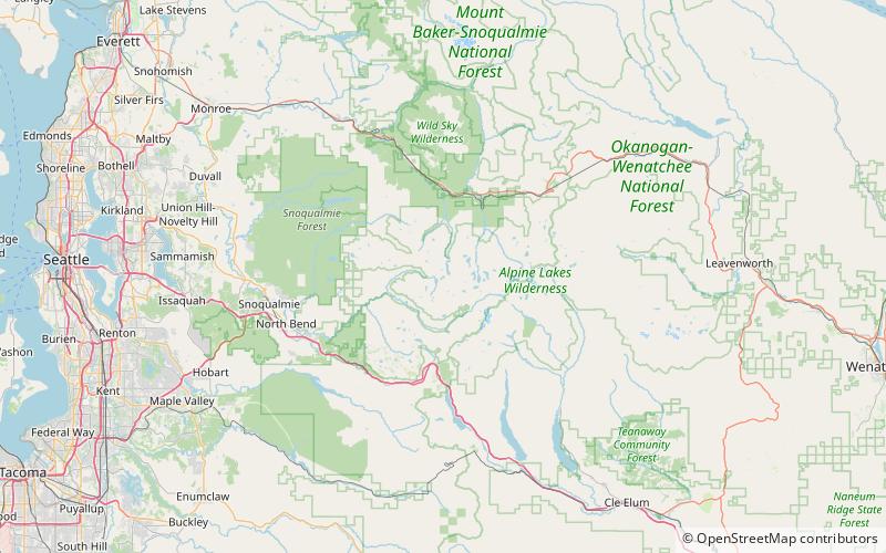
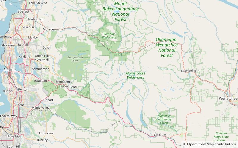
Bear Lake is a lake in King County in Washington, United States. It is the source of the Taylor River. ()
Alpine Lakes Wilderness United States
Bear Lake – popular in the area (distance from the attraction)
Nearby attractions include: Lake Dorothy, Chimney Rock, Overcoat Peak, Deer Lake.
 Nature, Natural attraction, Lake
Lake Dorothy, Alpine Lakes Wilderness
26 min walk • Lake Dorothy is a lake in King County, Washington. First labeled on Oliver Phelps Anderson's "New Map of the County of King, State of Washington, 1894"; the name was bestowed by Anderson for his daughter Dorothy Louise Anderson, a member of Sigma Kappa sorority.
 Nature, Natural attraction, Mountain
Chimney Rock, Alpine Lakes Wilderness
173 min walk • Chimney Rock is a mountain located in the Alpine Lakes Wilderness of the Central Cascade Range in western Washington, United States. The mountain has two main summits, a northeast spire and a central spire, as well as a minor south peak.
 Nature, Natural attraction, Mountain
Overcoat Peak, Alpine Lakes Wilderness
162 min walk • Overcoat Peak is in Mount Baker-Snoqualmie National Forest in the U.S. state of Washington. Overcoat Peak is less than.40 mi northwest of Chimney Rock and both are within the Alpine Lakes Wilderness.
 Nature, Natural attraction, Lake
Deer Lake, Alpine Lakes Wilderness
9 min walk • Deer Lake is a lake in King County, Washington. It is an expansion of the Taylor River, located just below its true source. Located a short distance downstream is Snoqualmie Lake. The lake is reached by hiking 1 mile from Snoqualmie Lake. Deer and Bear Lake are both about the same size.
 Nature, Natural attraction, Waterfall
Big Heart Falls, Alpine Lakes Wilderness
93 min walk • Big Heart Falls is a waterfall on the outlet stream of Big Heart Lake, which eventually flows into the Skykomish River, in King County, Washington. It is located between the outlet of Big Heart Lake and the inlet of Delta Lake. The falls are said to drop approximately 1,268 feet.
 Nature, Natural attraction, Waterfall
Miller River Waterfalls, Alpine Lakes Wilderness
48 min walk • There are a total of 3 waterfalls on the 2 forks of the Miller River. Below is a description for all ...
 Nature, Natural attraction, Waterfall
Foss River Falls, Alpine Lakes Wilderness
106 min walk • Foss River Falls is a 650-foot drop on the West Fork Foss River in the Alpine Lakes Wilderness Area, King County, Washington. Its sources are at Delta Lake, and the 70-foot-wide drop flows year-round. The waterfall is split into two parts. Each part is split into several tiers.
 Nature, Natural attraction, Waterfall
Snoqualmie River, Snoqualmie Pass
128 min walk • The Snoqualmie River is a 45-mile long river in King County and Snohomish County in the U.S. state of Washington. The river's three main tributaries are the North, Middle, and South Forks, which drain the west side of the Cascade Mountains near the town of North Bend and join near the town of Snoqualmie just above the Snoqualmie Falls.
 Nature, Natural attraction, Waterfall
Otter Falls, Mount Baker–Snoqualmie National Forest
89 min walk • Otter Falls is a waterfall in King County, Washington; on the southern wall of Mount Anderson. It drops about 1,600 feet in all, but due to the relatively moderate pitch of the mountainside, only about 1/3 of the total height can be seen from the ground.
 Nature, Natural attraction, Lake
Snoqualmie Lake, Alpine Lakes Wilderness
25 min walk • Snoqualmie Lake is a lake in King County, Washington. It is an expansion of the Taylor River and is located a short distance downstream from Deer Lake. It is the largest of the three lakes along the upper reaches of the Taylor.
 Nature, Natural attraction, Lake
Big Heart Lake, Alpine Lakes Wilderness
91 min walk • Big Heart Lake is the most remote and highest-elevation on-trail lake in the West Fork Foss River system. It is a 14.6-mile round-trip hike from the trailhead, just off of the Foss River Road.