Cerro Marconi, Rivera
Gallery (1)
Map

Map
Facts and practical information
Cerro Marconi is a place located in Rivera (Rivera department) and belongs to the category of nature, lookout, natural attraction.
It is situated at an altitude of 827 feet, and its geographical coordinates are 30°54'12"S latitude and 55°32'11"W longitude.
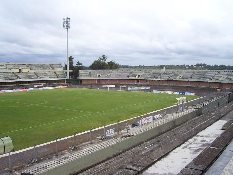
Among other places and attractions worth visiting in the area are: Estadio Atilio Paiva Olivera (arenas and stadiums, 21 min walk).
Coordinates: 30°54'12"S, 55°32'11"W
Address
Rivera
ContactAdd
Social media
Add
Day trips
Cerro Marconi – popular in the area (distance from the attraction)
Nearby attractions include: Estadio Atilio Paiva Olivera.