Libertador Avenue, Montevideo
Map
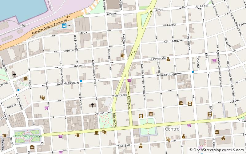
Map

Facts and practical information
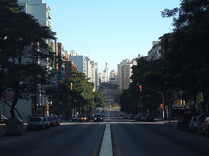
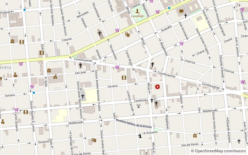
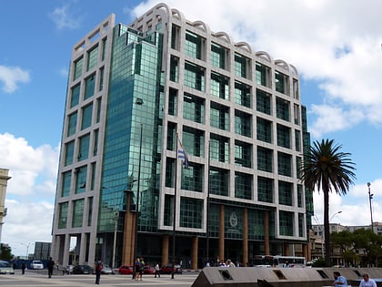
Libertador Avenue is a major avenue in Montevideo, Uruguay. It stretches north from the Legislative Palace in Aguada to Plaza Fabini in Centro, and is named after Juan Antonio Lavalleja, revolutionary figure and politician, who led the group of the Thirty-Three Orientals in the insurrection for the independence of Oriental Province. ()
Local name: Avenida del Libertador Brigadier General Juan Antonio Lavalleja Coordinates: 34°54'11"S, 56°11'35"W
Address
Centro Comunal Zonal 1 (Centro)Montevideo
ContactAdd
Social media
Add
Day trips
Libertador Avenue – popular in the area (distance from the attraction)
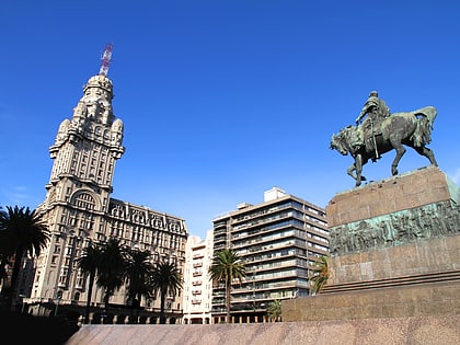
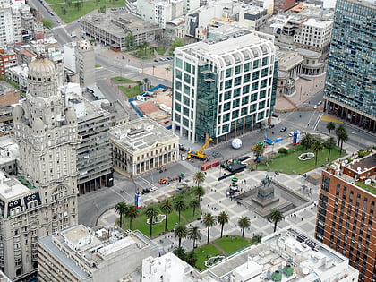
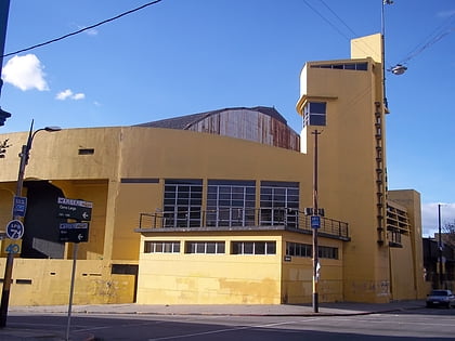
Nearby attractions include: Palacio Salvo, Plaza Independencia, Palacio Contador Gastón Guelfi, Cinemateca Uruguaya.
Frequently Asked Questions (FAQ)
Which popular attractions are close to Libertador Avenue?
Nearby attractions include San Miguel Garicoits, Montevideo (5 min walk), Plaza Fabini, Montevideo (5 min walk), Palacio Chiarino, Montevideo (5 min walk), 18 de Julio Avenue, Montevideo (6 min walk).
How to get to Libertador Avenue by public transport?
The nearest stations to Libertador Avenue:
Bus
Train
Bus
- Terminal Baltasar Brum (9 min walk)
Train
- Nueva Terminal (17 min walk)
