Centro, Montevideo
Map
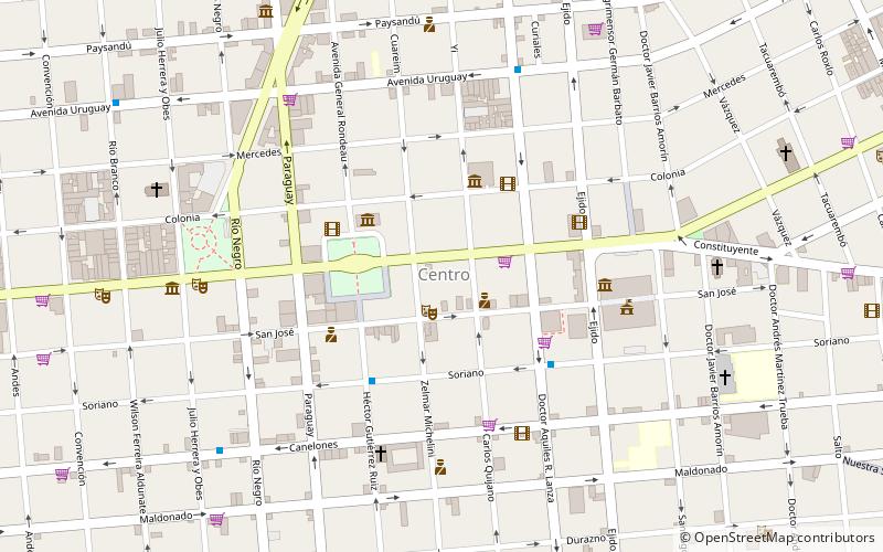
Map

Facts and practical information
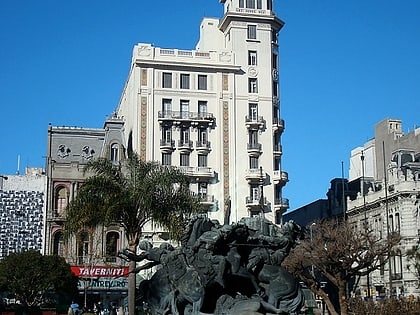
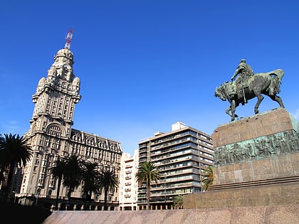
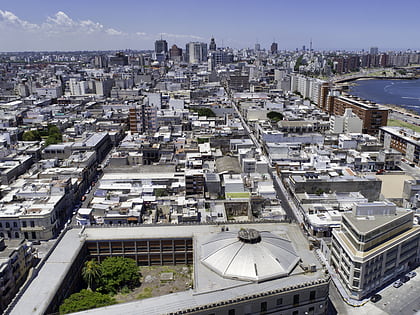
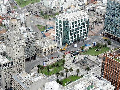
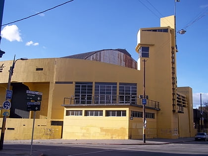
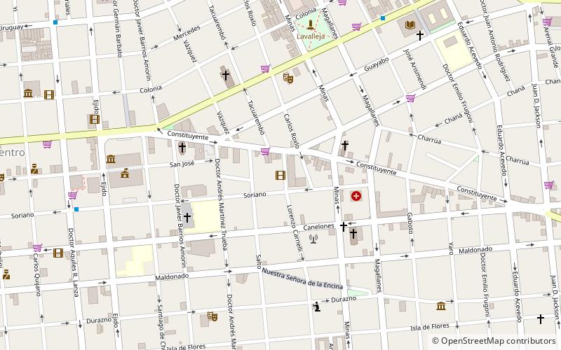
Centro is the inner city barrio of Montevideo, Uruguay. Its main avenue is 18 de Julio Avenue. It is delimited by La Paz Str. to the North, Florida Str. and Andes Str. to the West, Canelones Str. to the South and Barrios Amorin Str. to the East. It used to be the main commercial venue of the city, but after the opening of the first malls, many small stores started closing down. Now, that process is being reverted and the area is coming back to life. ()
Address
Centro Comunal Zonal 1 (Centro)Montevideo
ContactAdd
Social media
Add
Day trips
Centro – popular in the area (distance from the attraction)
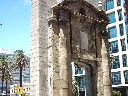
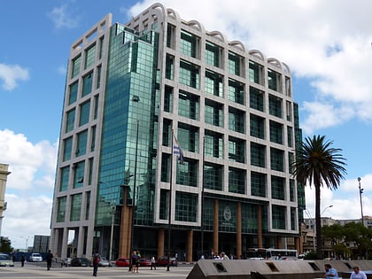
Nearby attractions include: Palacio Salvo, Ciudad Vieja, Plaza Independencia, Palacio Contador Gastón Guelfi.
Frequently Asked Questions (FAQ)
Which popular attractions are close to Centro?
Nearby attractions include Palacio Piria, Montevideo (3 min walk), Plaza de Cagancha, Montevideo (3 min walk), Tiles Museum, Montevideo (3 min walk), Palacio Chiarino, Montevideo (4 min walk).
How to get to Centro by public transport?
The nearest stations to Centro:
Bus
Train
Bus
- Terminal Baltasar Brum (16 min walk)
Train
- Nueva Terminal (23 min walk)
