Cuchilla Grande

Gallery (1)
Map
Map
Facts and practical information
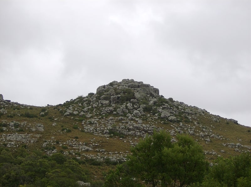
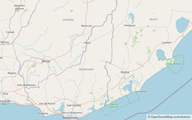
Cuchilla Grande is a hill range that crosses the east part of Uruguay from north to south. It extends from the south part of Cerro Largo Department, through the departments of Treinta y Tres and Lavalleja and ends in Maldonado Department where it forms its highest peaks. ()
Location
Maldonado
ContactAdd
Social media
Add
Day trips