Santa Teresa National Park
Map

Map

Facts and practical information
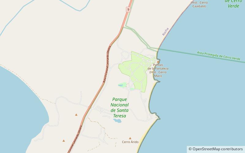
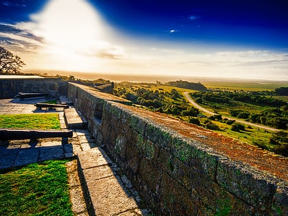
Santa Teresa National Park is a seaside forested area in Rocha Department which is an important national park of Uruguay. It is operated by the National Army of Uruguay. It is located in the Atlantic coast southeast of Route 9 at the northeast side of Laguna Negra and just north of Punta del Diablo. ()
Local name: Parque nacional de Santa Teresa Elevation: 89 ft a.s.l.Coordinates: 33°58'60"S, 53°32'60"W
Location
Rocha
ContactAdd
Social media
Add
Day trips
Santa Teresa National Park – popular in the area (distance from the attraction)
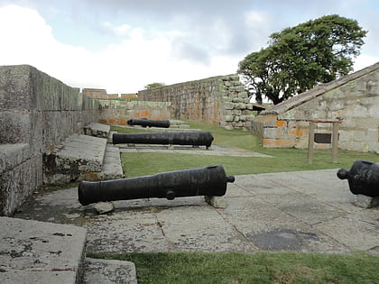
Nearby attractions include: Fortaleza de Santa Teresa.

