Frederiksted Pier, Frederiksted
Map
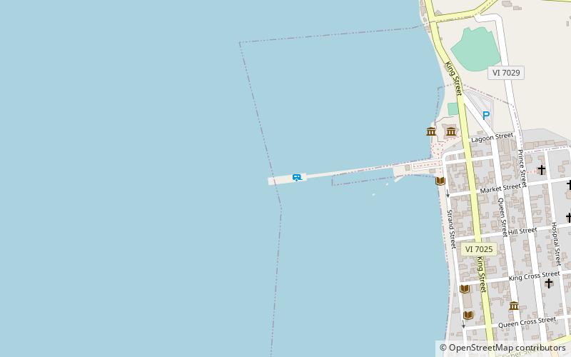
Map

Facts and practical information
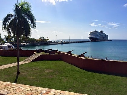
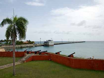
The Frederiksted Pier is the 1,526-foot, deep water, cruise ship pier located in Frederiksted, U.S. Virgin Islands. It is located at the west end of Saint Croix, U.S. Virgin Islands and accommodate two Eagle-class vessels, of a maximum of 142,000 gross tons each with drafts up to 29 feet and two mini-cruise vessels with drafts of 18 feet. Anchorage is also available in the outer harbor for larger ships. The platform of the pier is equipped with a fendering system that is designed for submarines. ()
Opened: 1994 (32 years ago)Coordinates: 17°42'50"N, 64°53'18"W
Address
Frederiksted
ContactAdd
Social media
Add
Day trips
Frederiksted Pier – popular in the area (distance from the attraction)
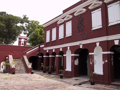
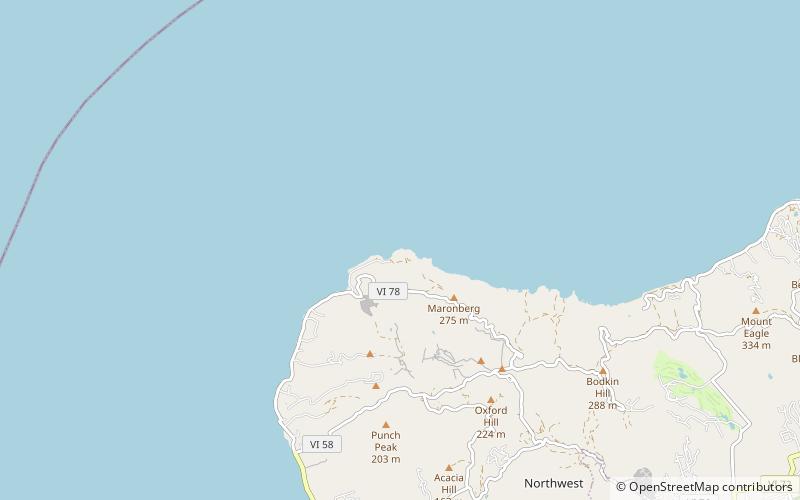
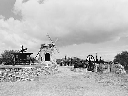
Nearby attractions include: Fort Frederik, Hams Bluff Light, Whim, St. George Village Botanical Garden.
Frequently Asked Questions (FAQ)
Which popular attractions are close to Frederiksted Pier?
Nearby attractions include Frederiksted Historic District, Frederiksted (6 min walk), Fort Frederik, Frederiksted (9 min walk).
